Some Mountains and Some Bikes
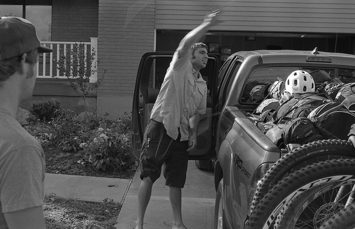
About 3 months ago Josh told me he wanted to celebrate Luke’s engagement. Since Las Vegas is a disgusting, death-hole, the only thing we thought was appropriate was a mountain biking trip in Moab. Sounds like a good time!
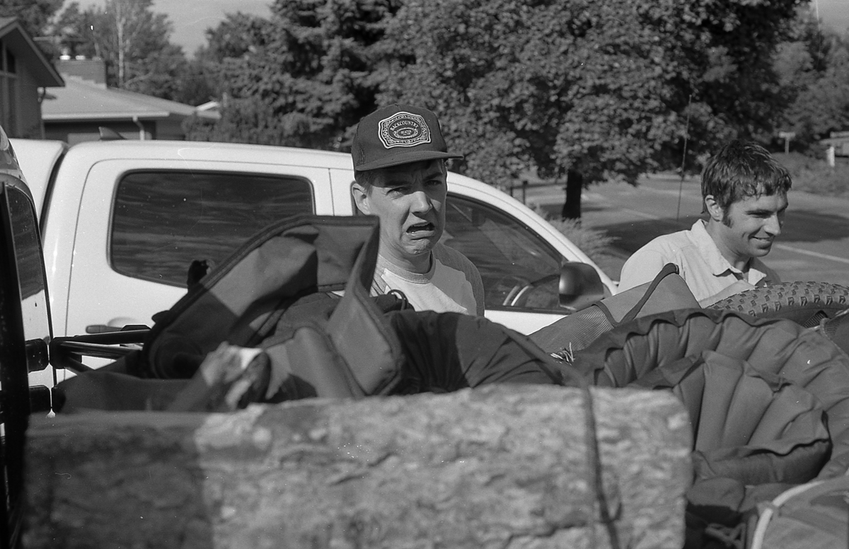
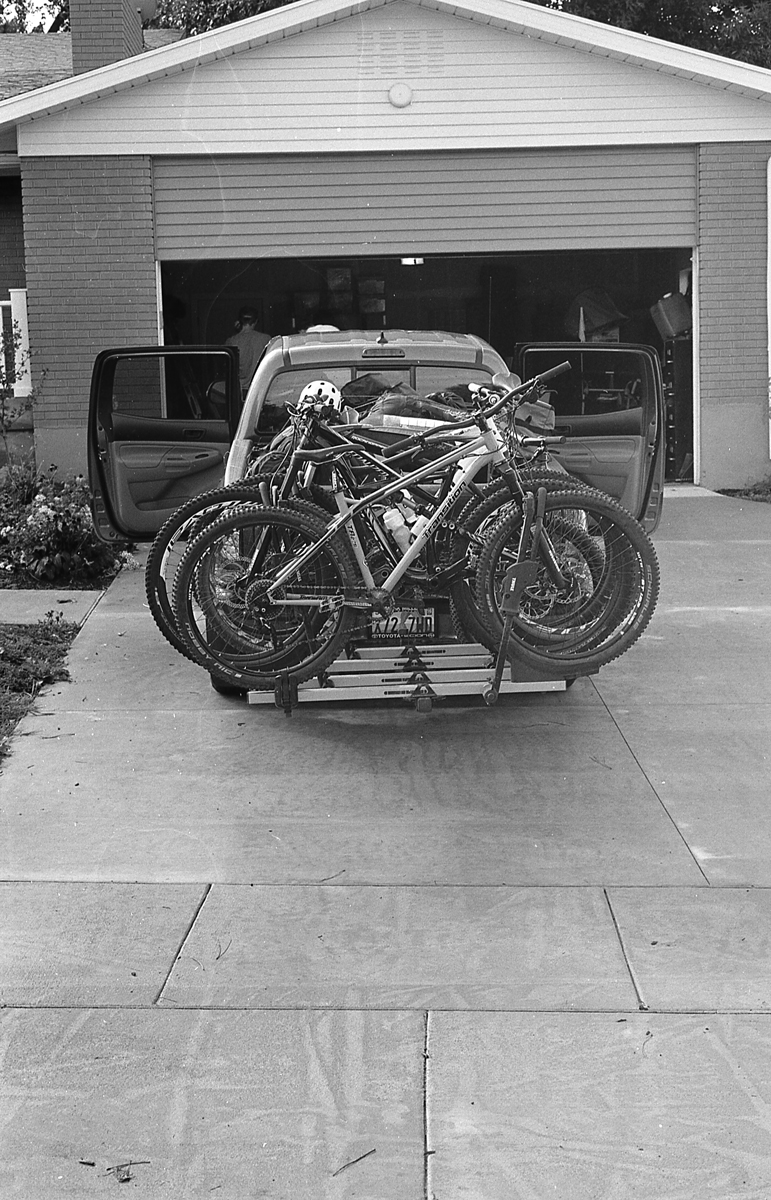
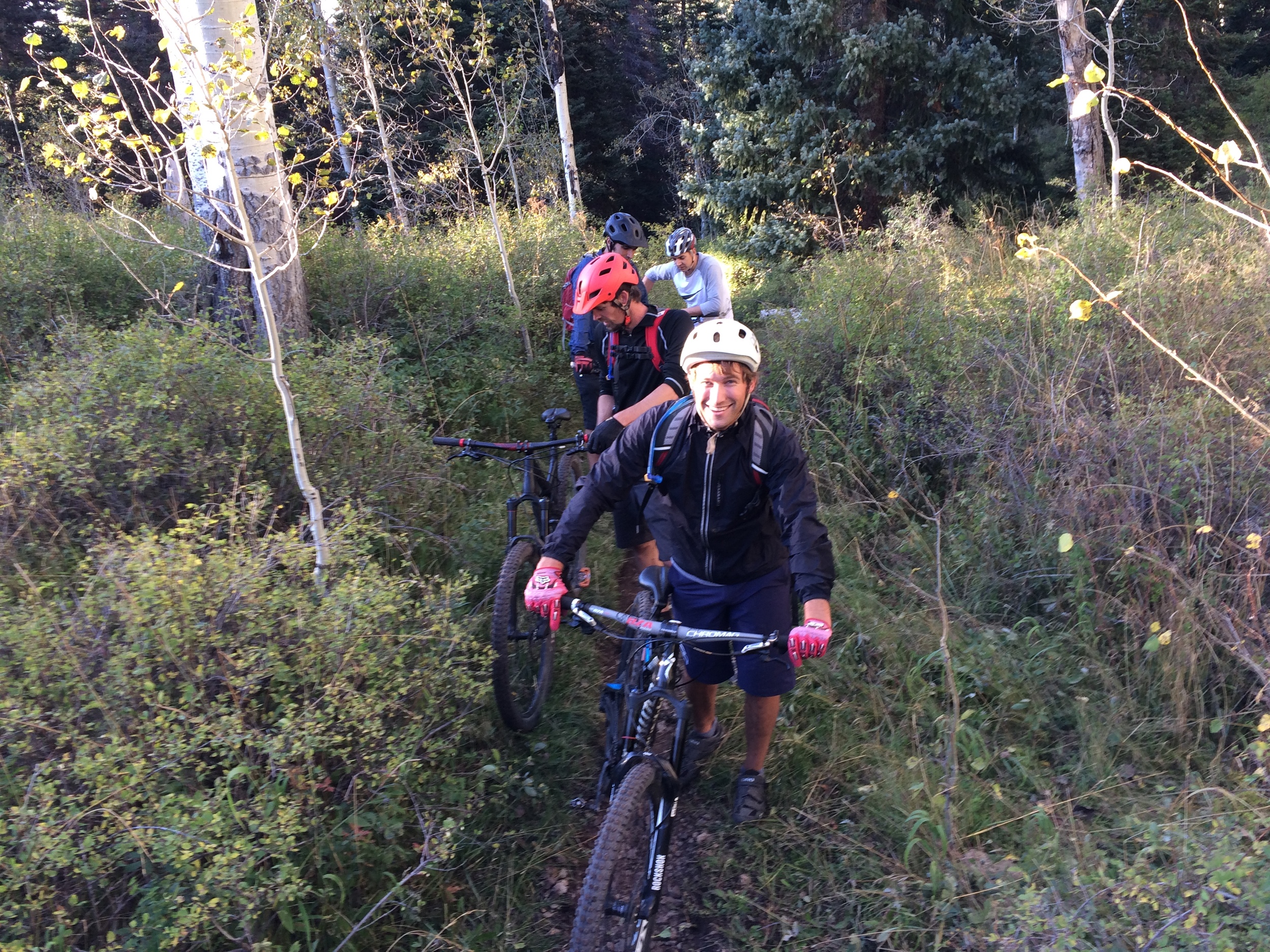
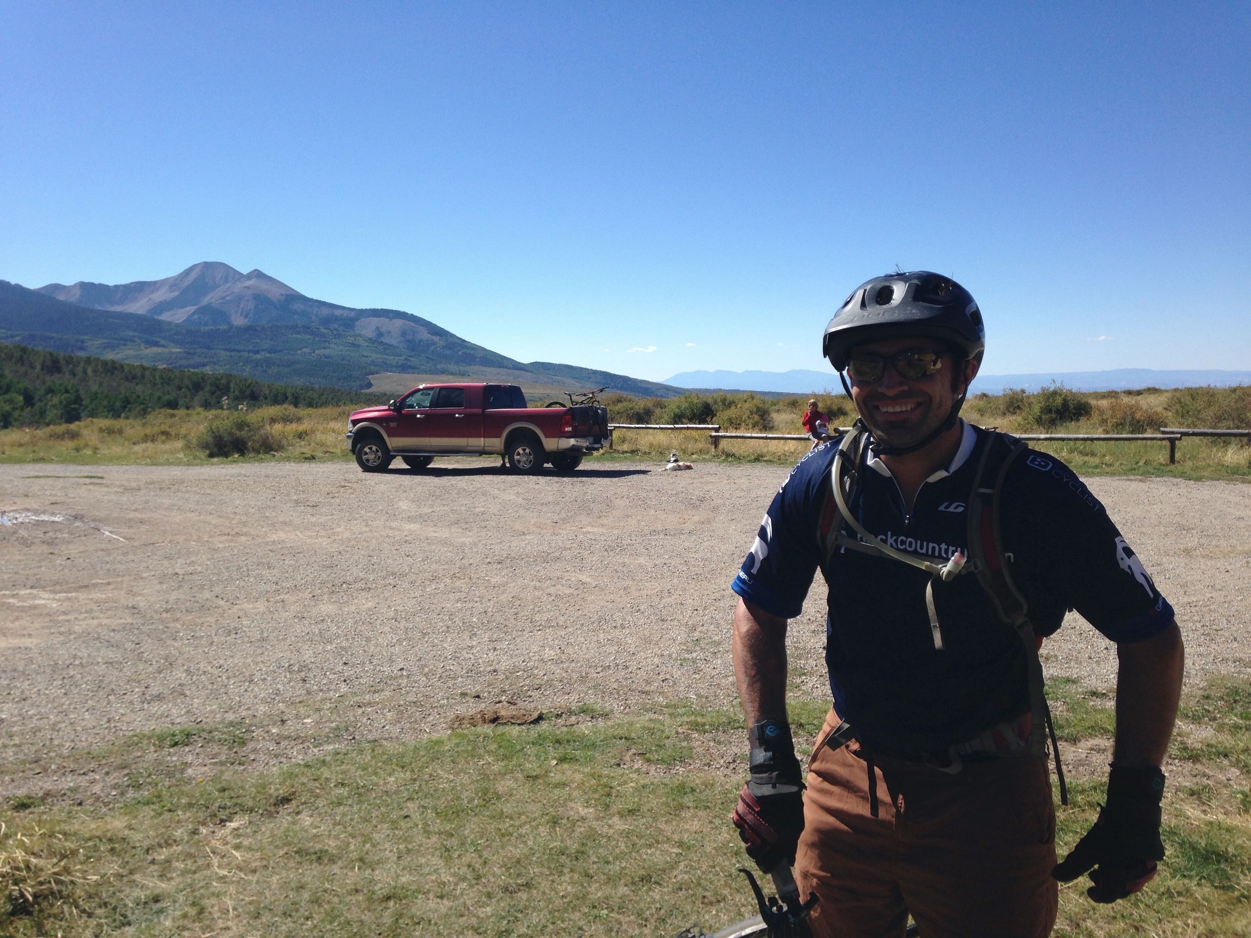
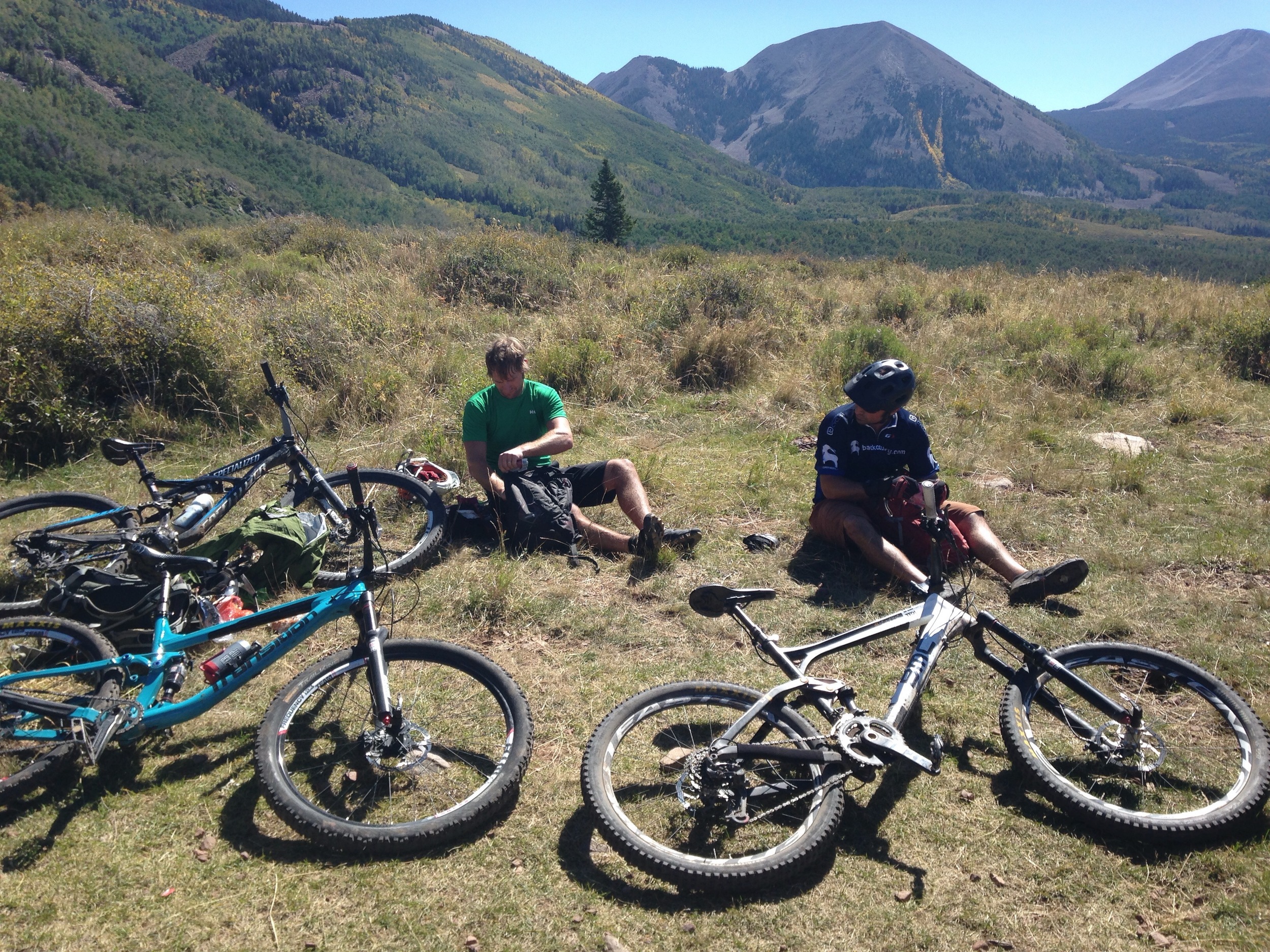
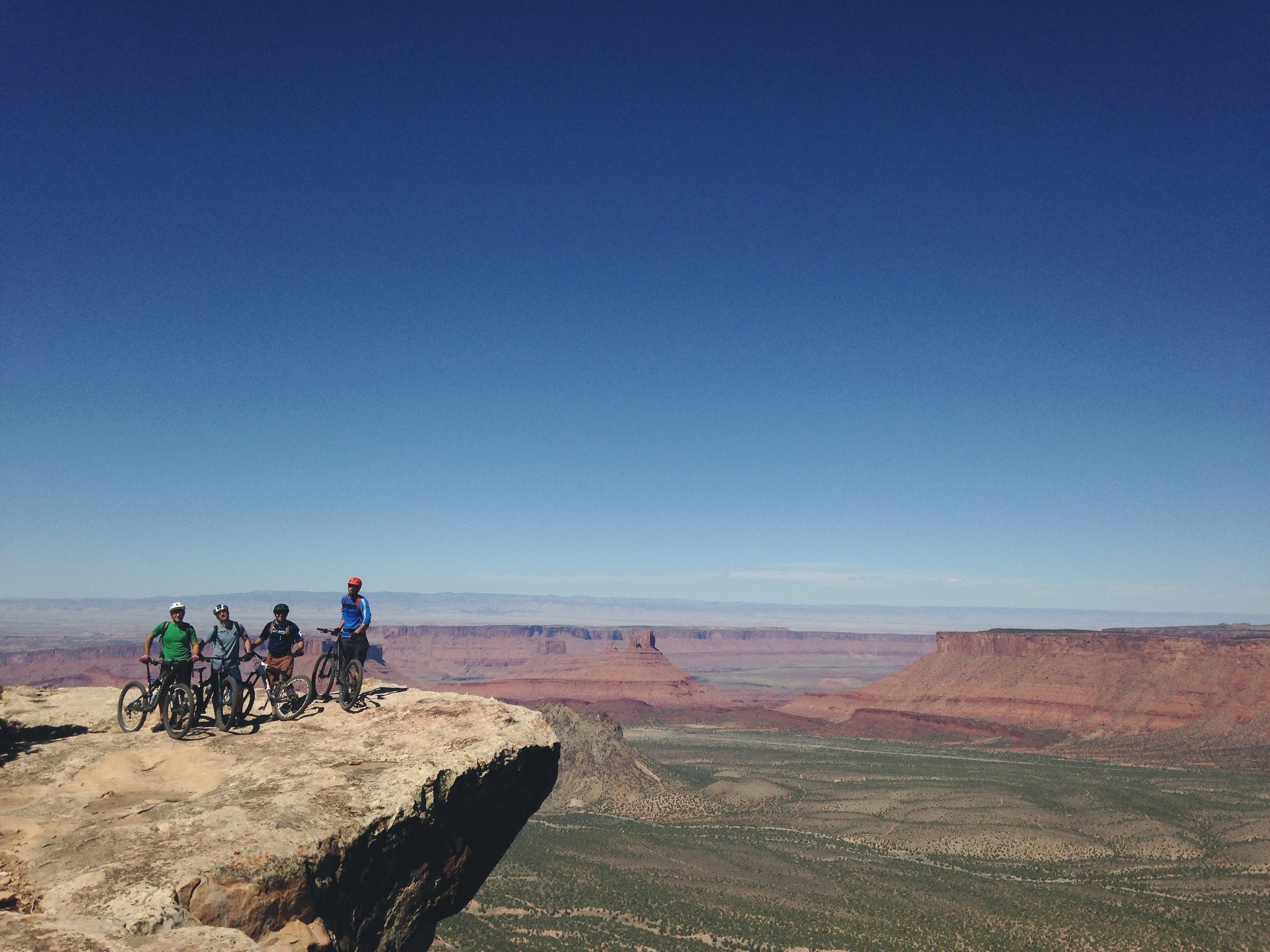
If you’re not familiar, Moab is a mountain biking paradise. It is more than desert and slick rock. The La Sal Mountains stretch to over 11,000 feet providing aspen groves and looooooamy, smooth trail to zip through.
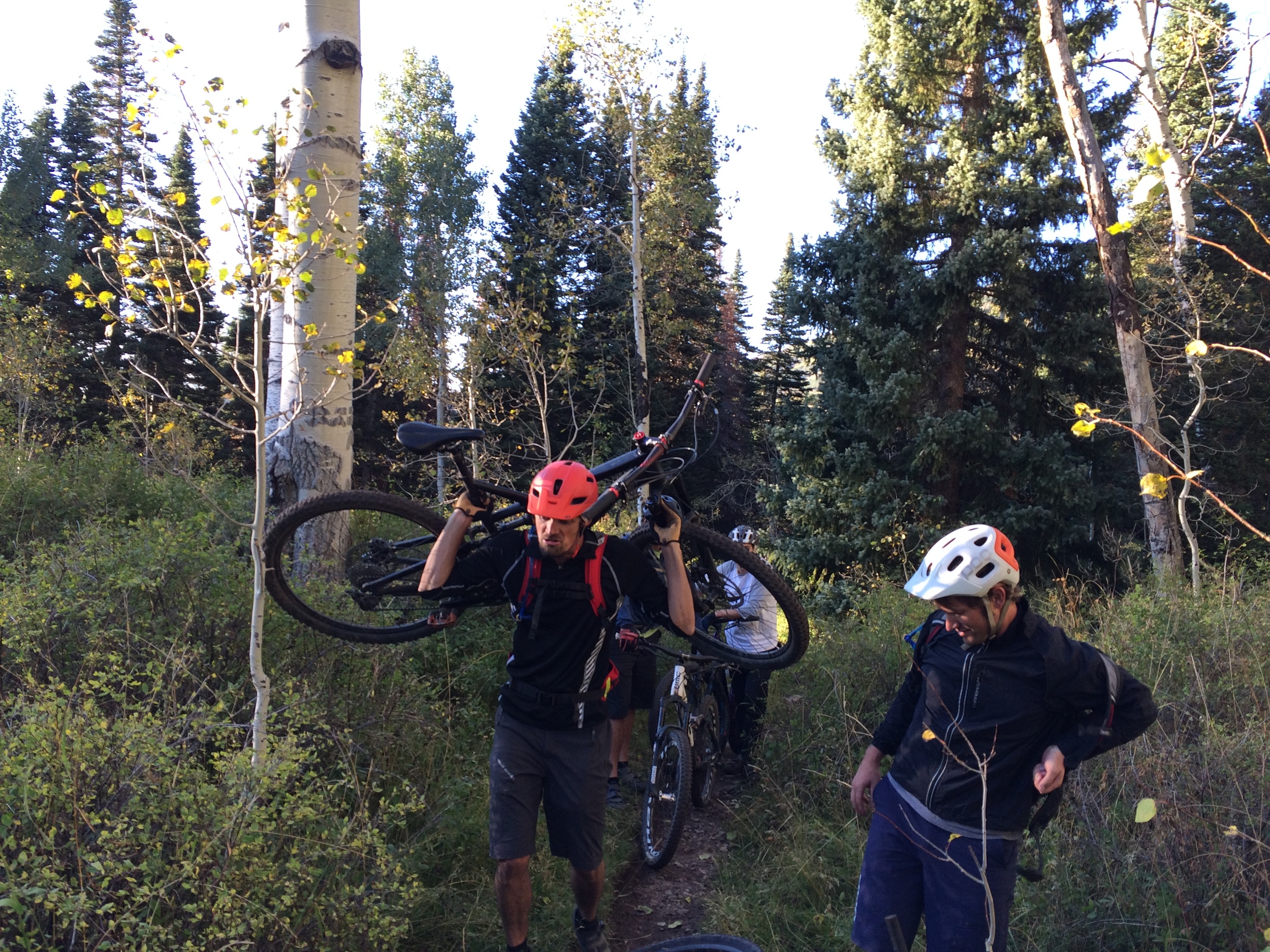

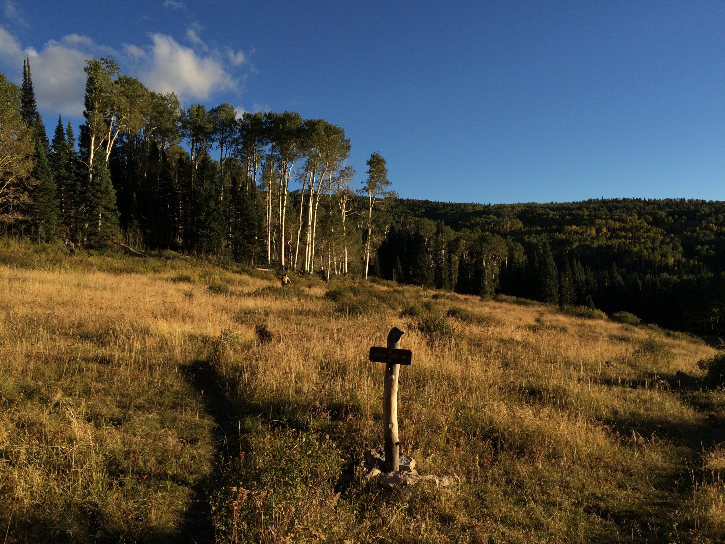
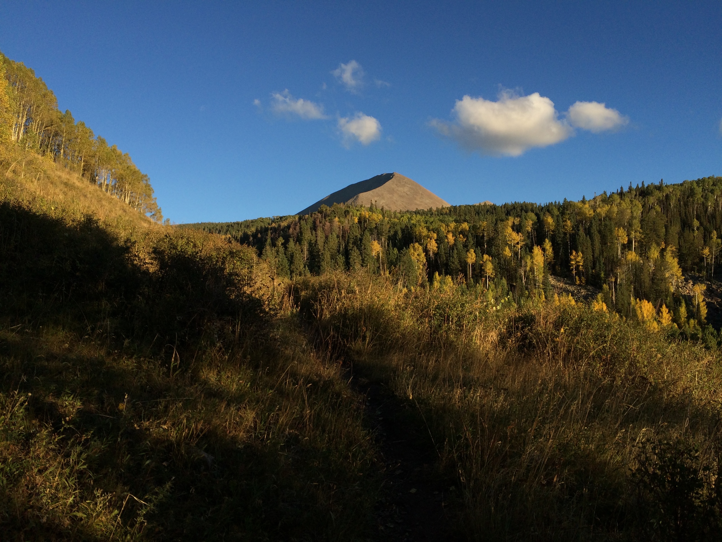
Near the top of the La Sal’s starts the pinnacle endurance ride, The Whole Enchilada. I think it should be called The Entire Moldy Burrito but no one has asked me to rename it yet.
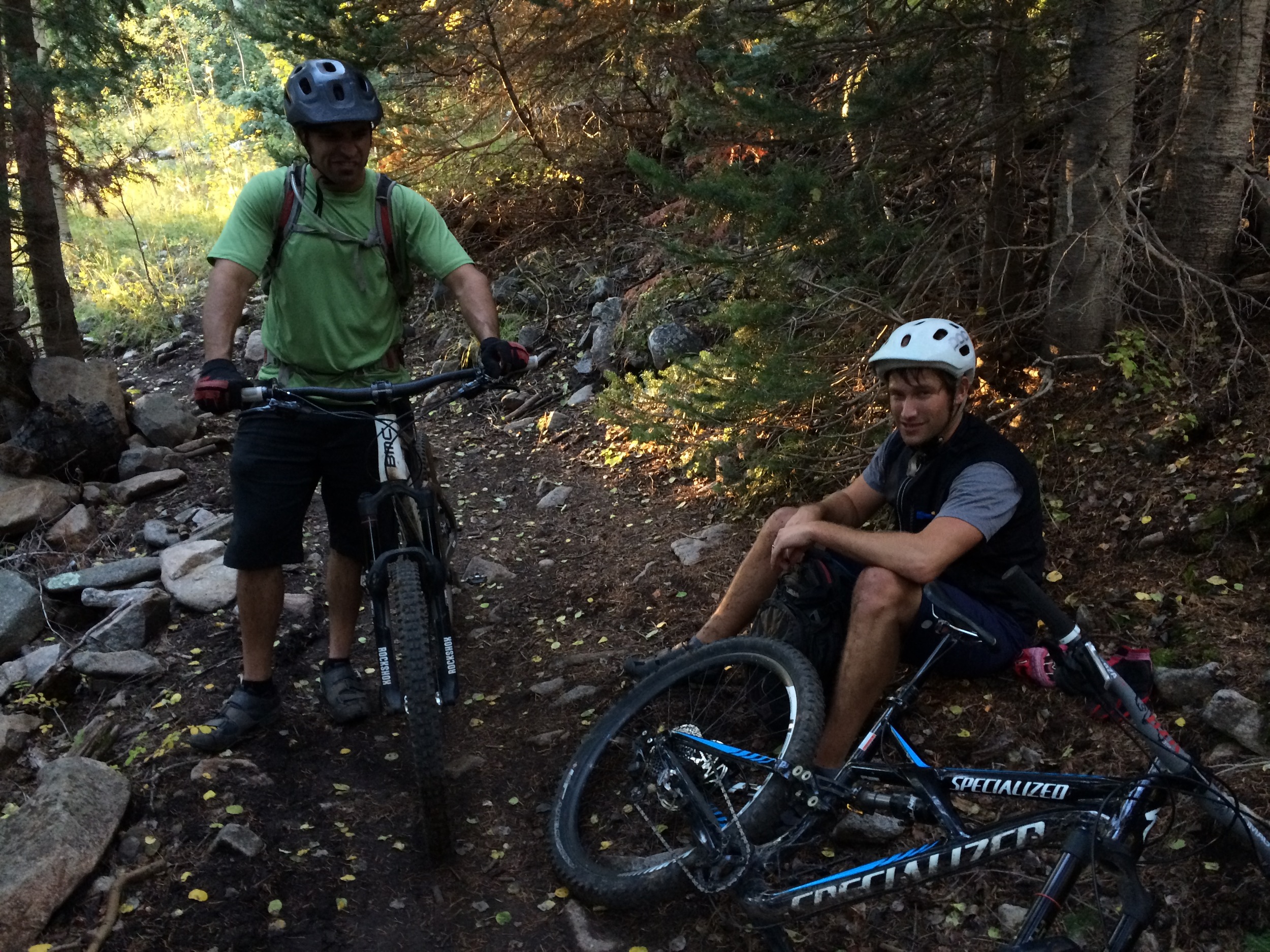
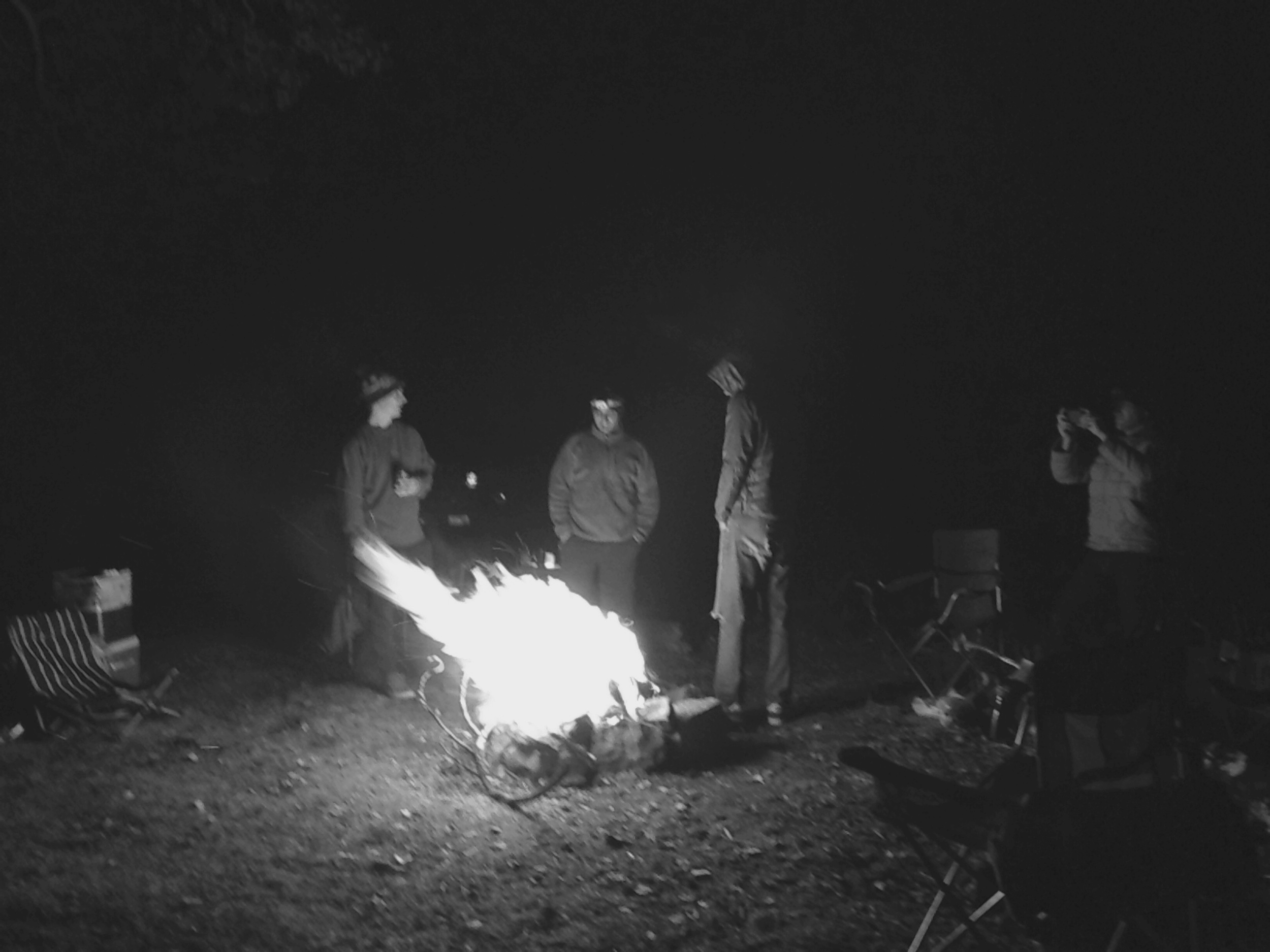
So we knew that we would ride the Enchilada at some point but had to pick a few other rides to occupy ourselves. There are some new trails near our campsite at around 10,000 feet so the first evening we explored those.
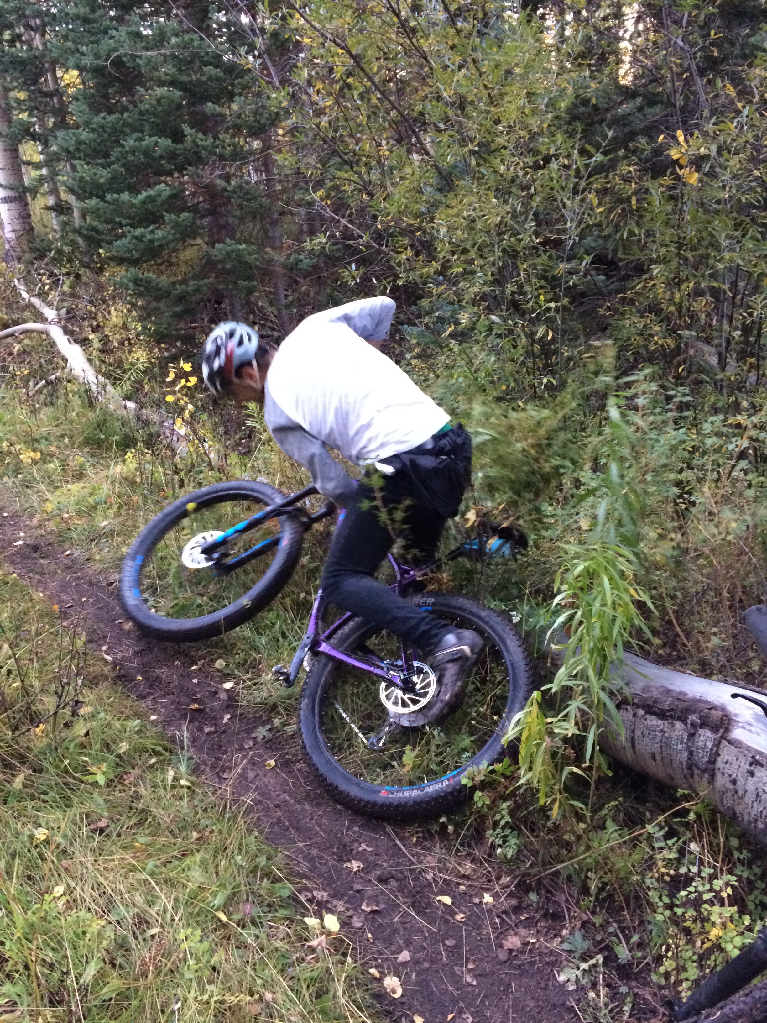
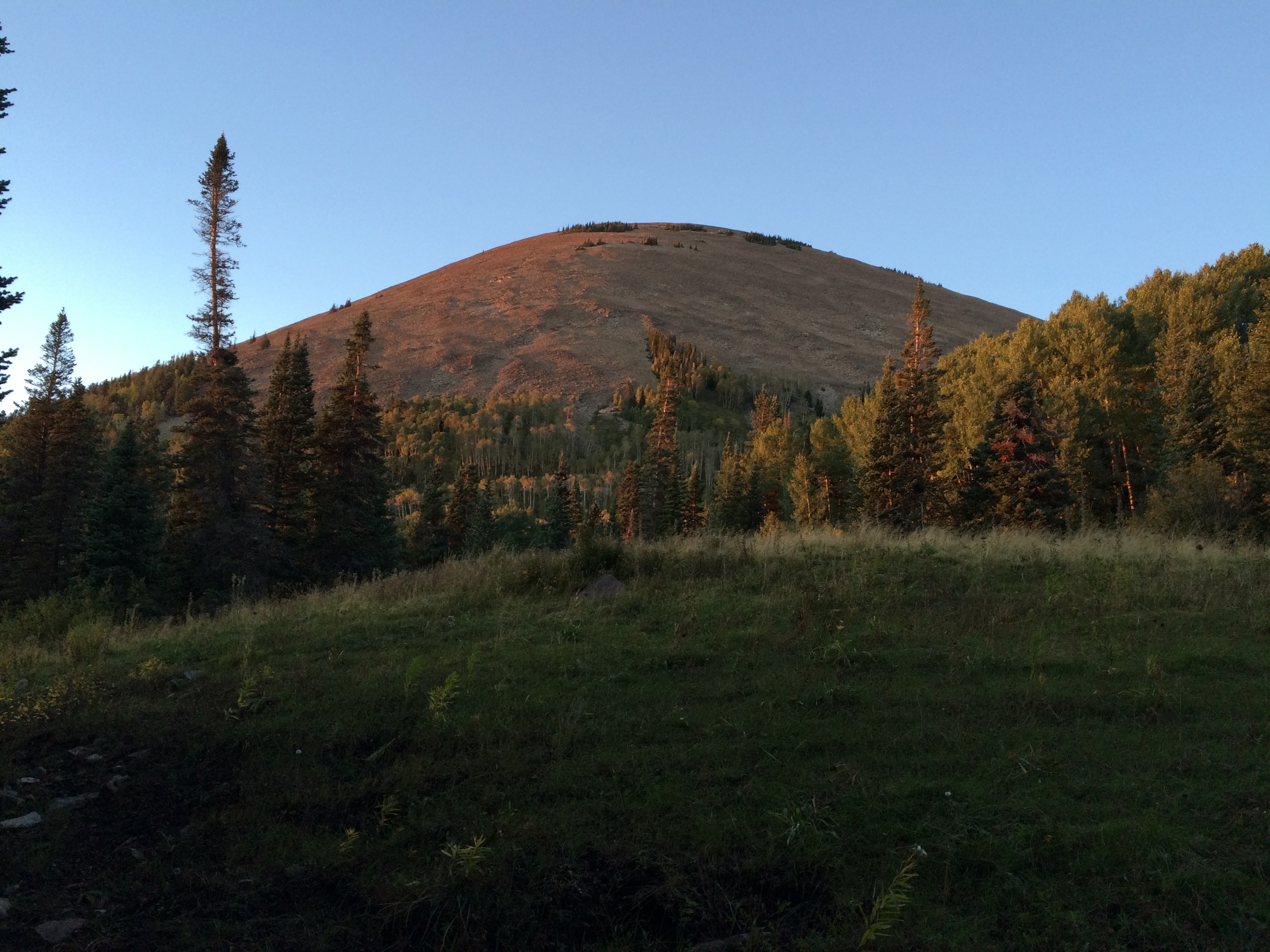
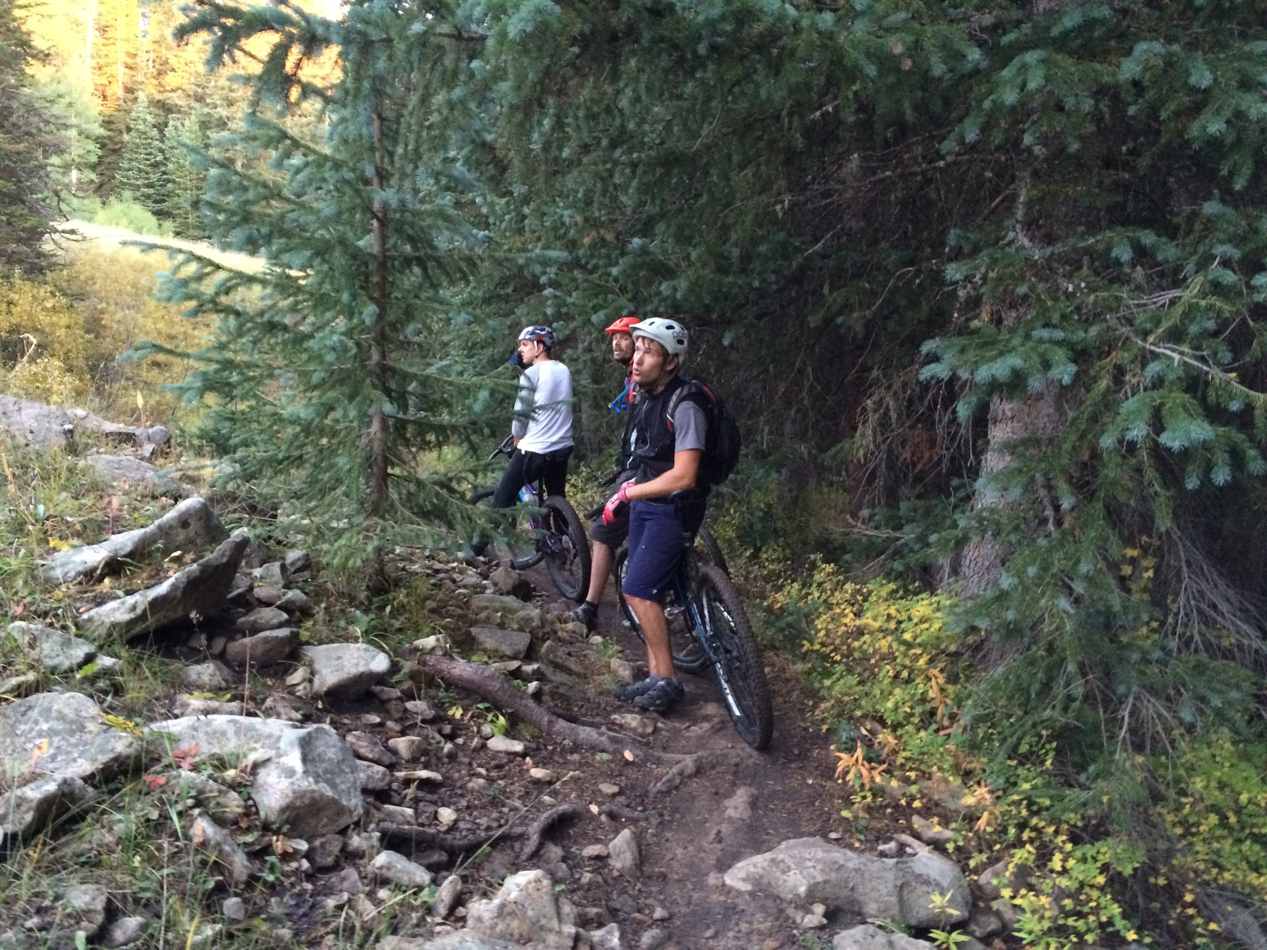
Only one of the guys on the trip lives above 5,000 feet so the rest of us suffered. I thought I was finally getting into better riding shape but this trip confirmed otherwise.
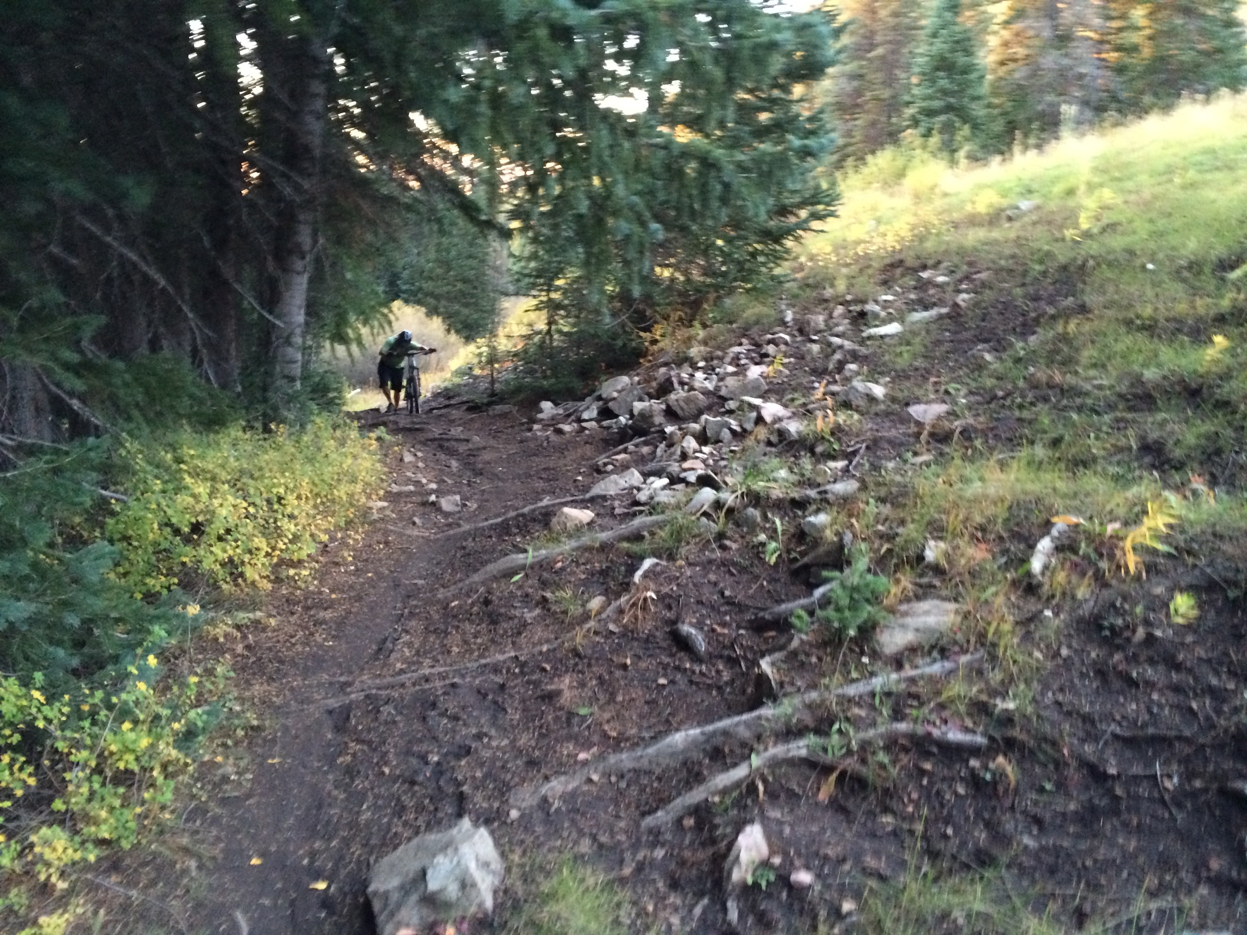
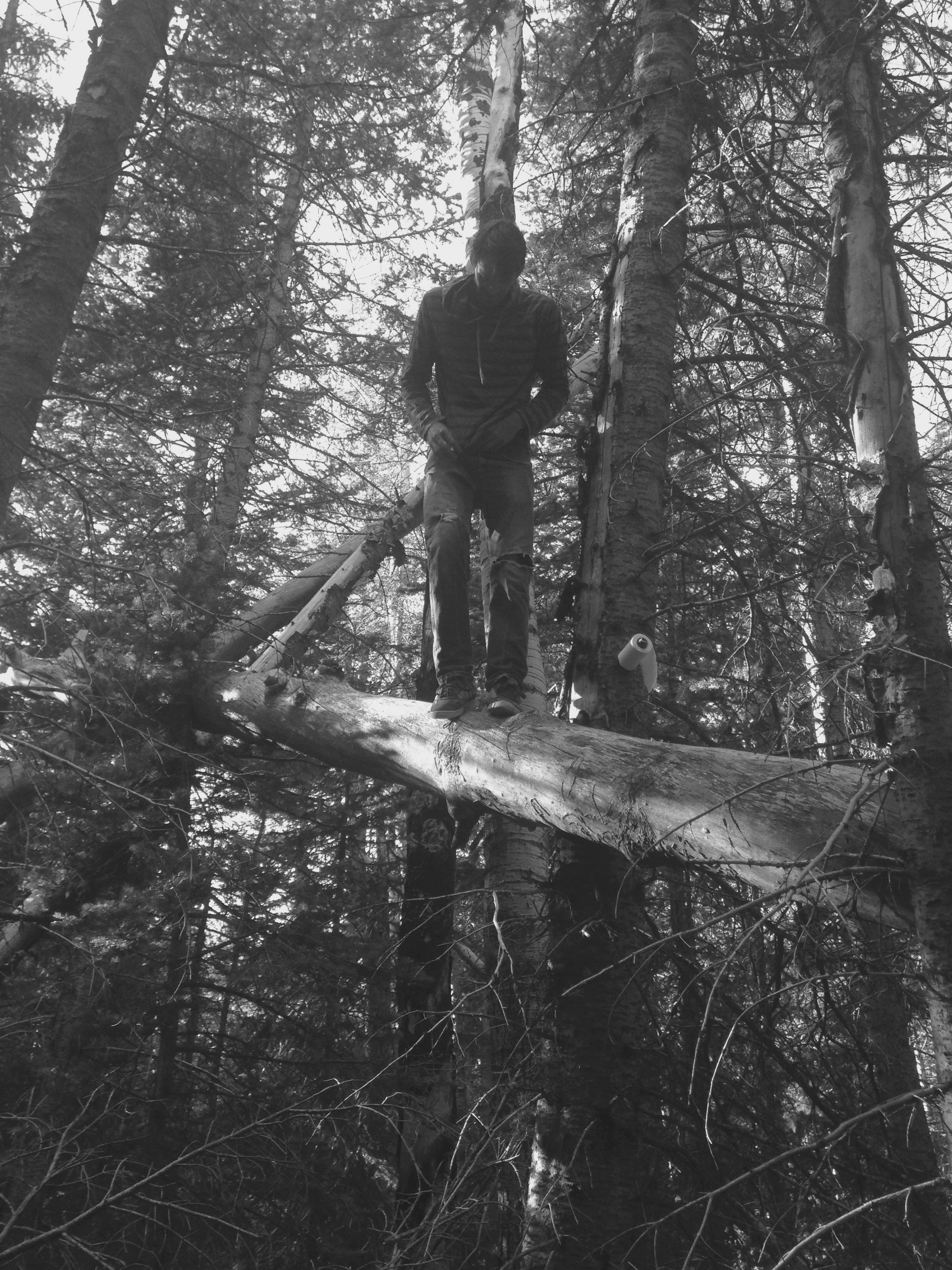
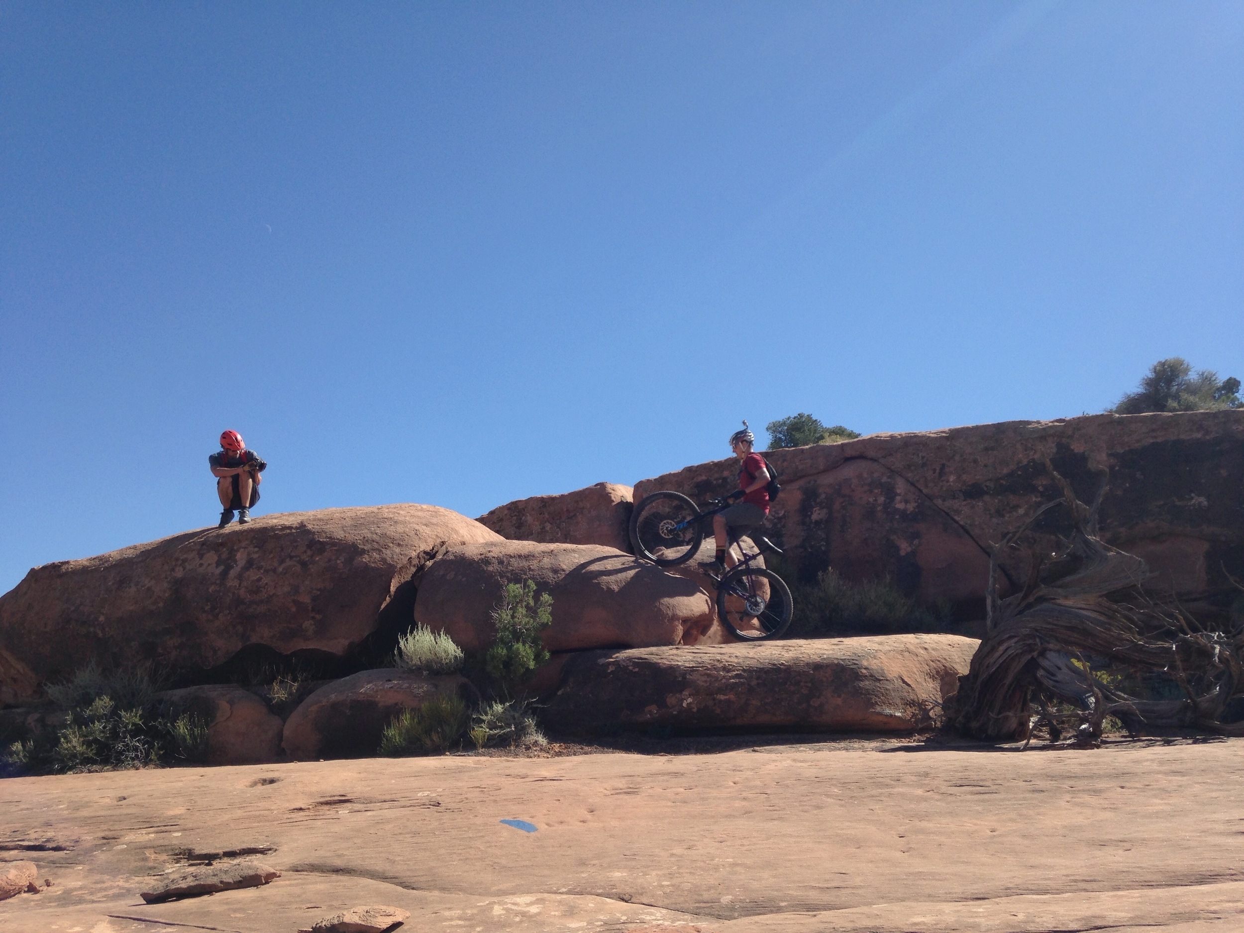
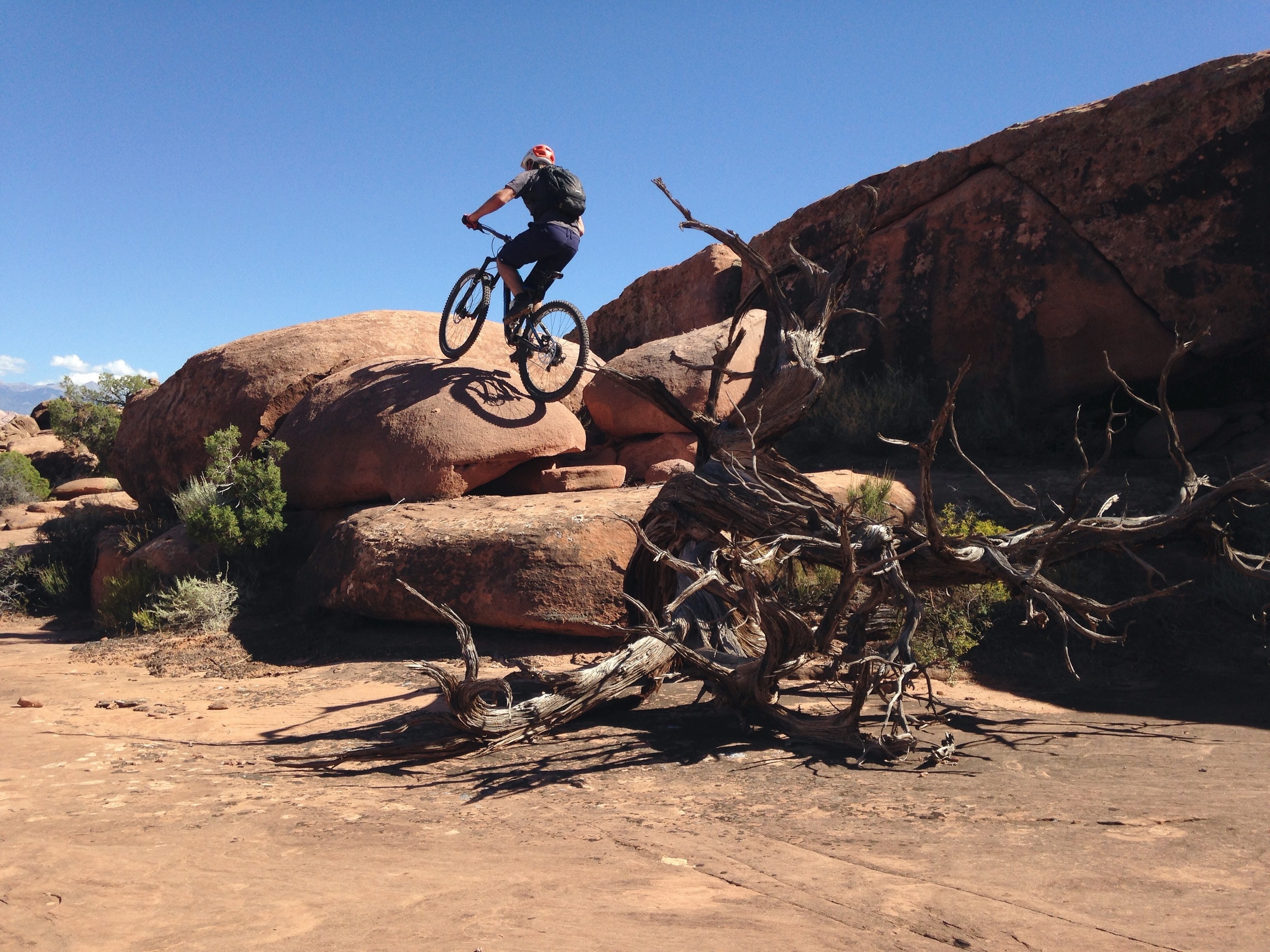
The next day it took a while to get everyone up (it was probably around 30 degrees) so we didn’t get riding till mid-afternoon. Captain Ahab was the trail of choice and it was a good time. Chris took a nice tumble but pressed through, Andy tried to break his bike but wasn’t successful, and Josh and Luke rode up and over this silly, little, massive boulder that wasn’t meant to be ridden.
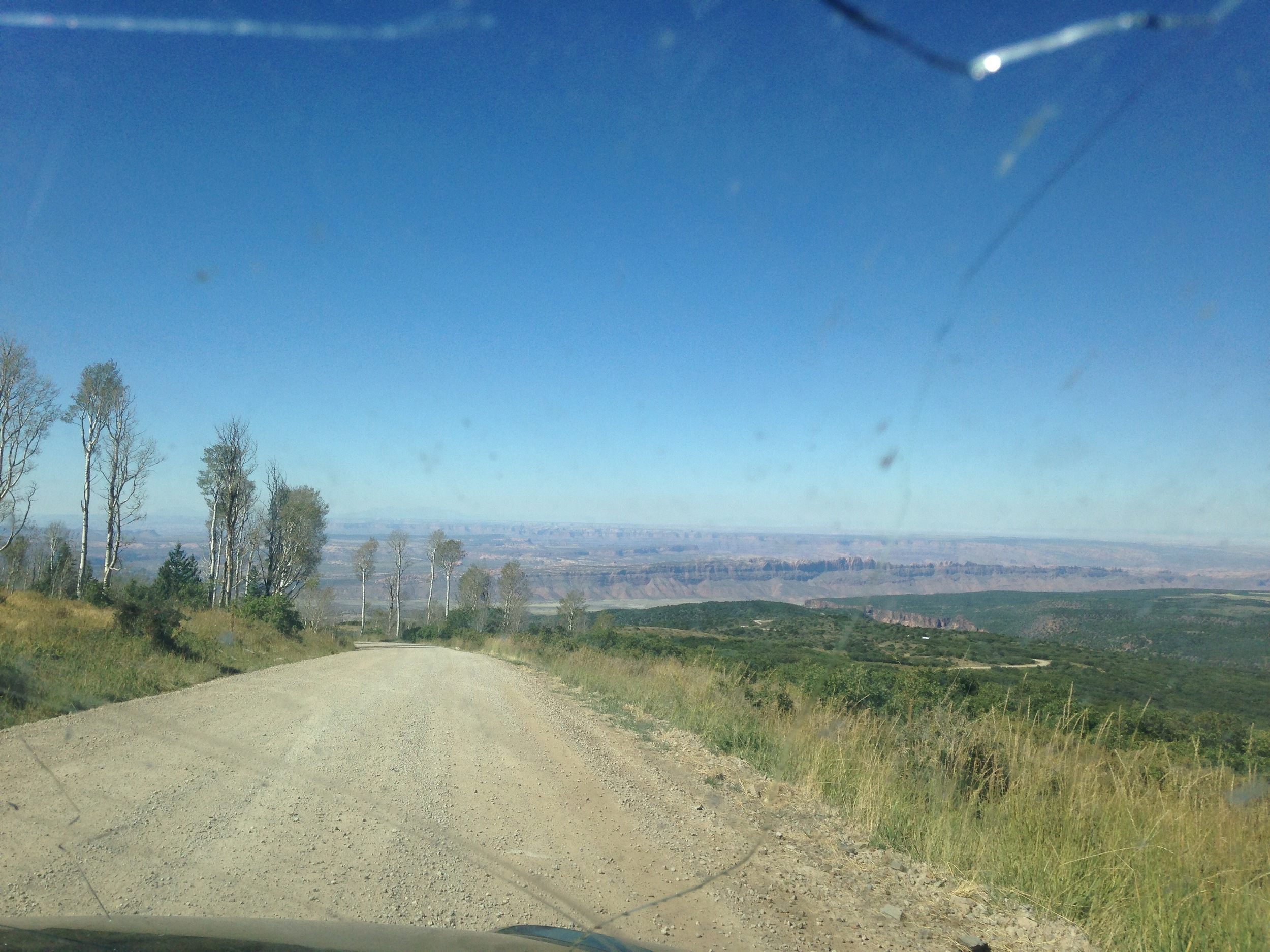
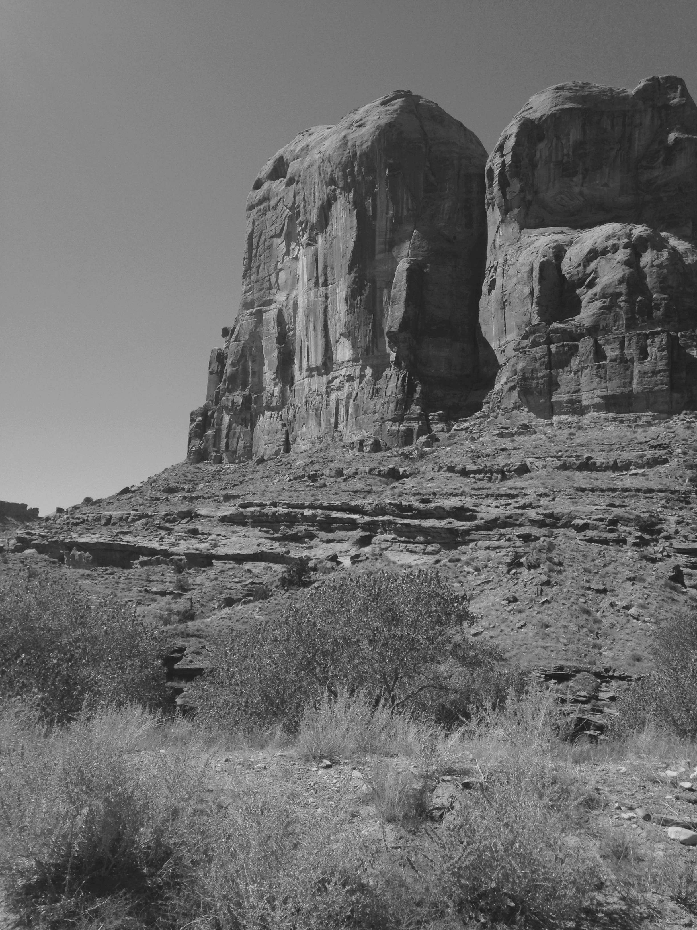
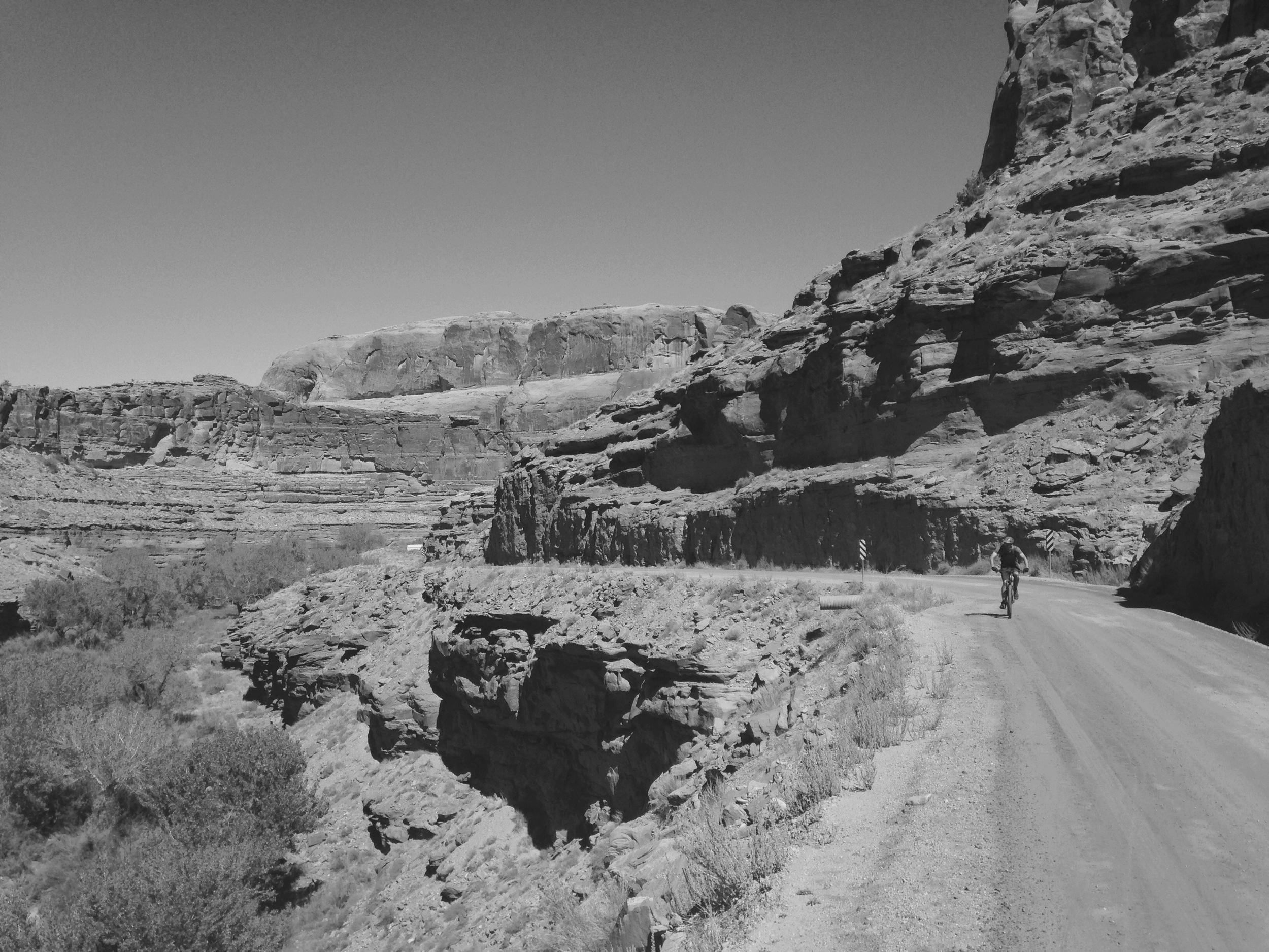
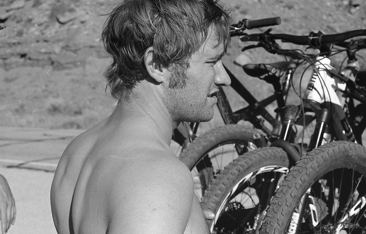
The only thing left was the Enchilada. A few figures so you get an idea of what you’re up against: the trail that most people take is around 26 miles with over 7,000 feet of elevation change. It’s mostly downhill but that doesn’t mean it’s easy on your body. The way we chose to ride it included a new section of trail, which added 7 miles. Once you get through the whole trail you either get picked up by your predetermined shuttle or ride another 6 miles into town (which of course we chose because we’re cheap and it’s better that way.) So we rode around 41 miles on this day. Not bad!
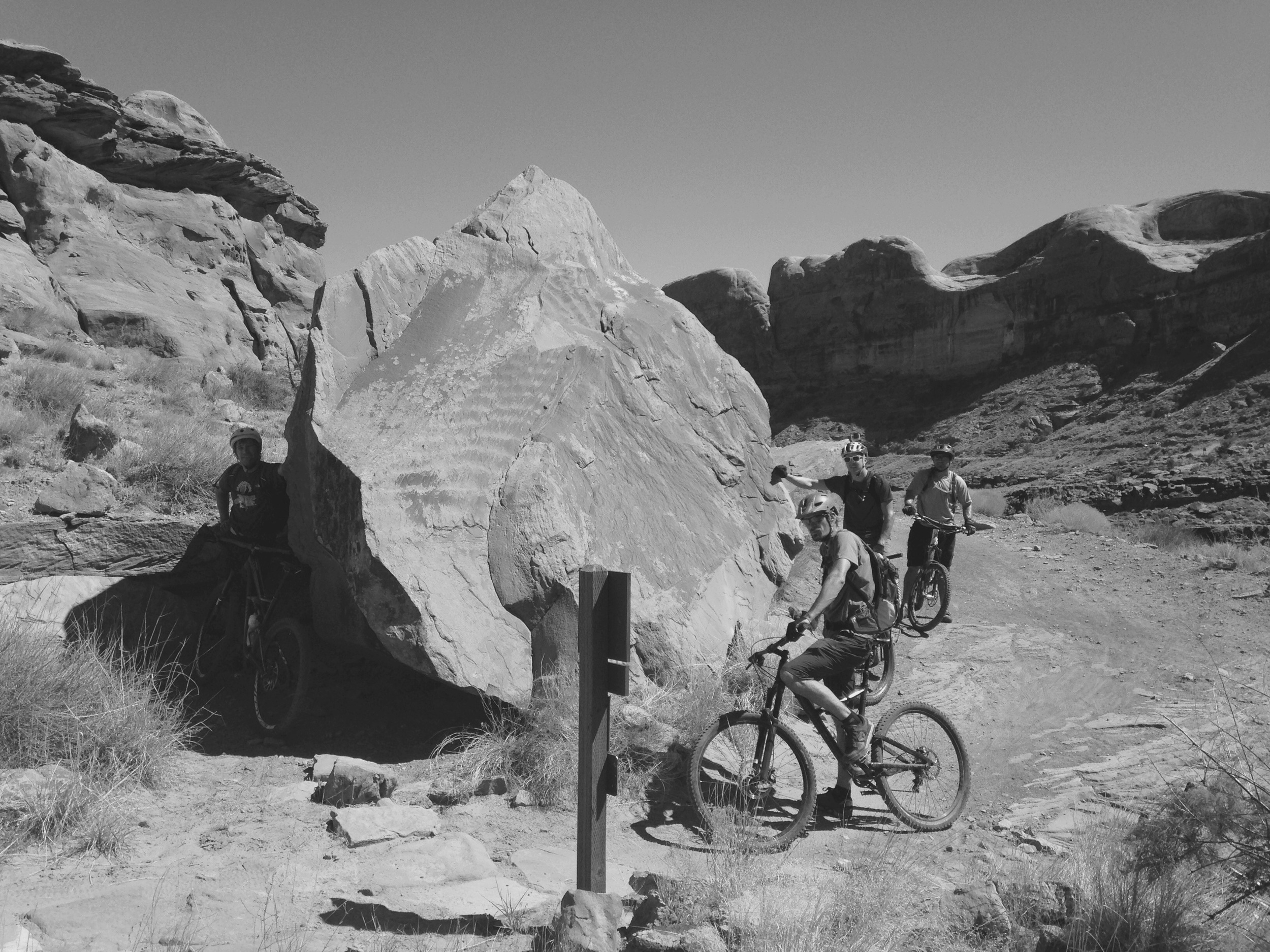
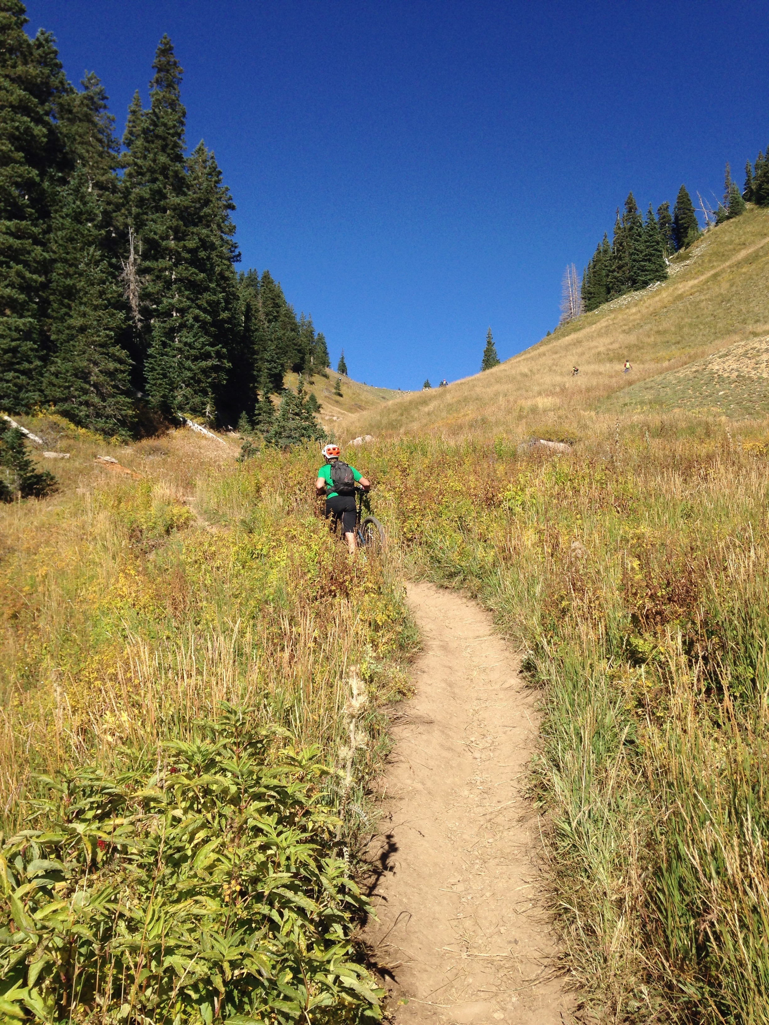
The ride starts with a super strenuous climb, which, early in the morning when it’s extra chilly, seems nice. You can get your muscles moving and warm up. The problem comes when you’re warm (about 2 minutes later) and you still have 1,000 feet to climb to Burro Pass.
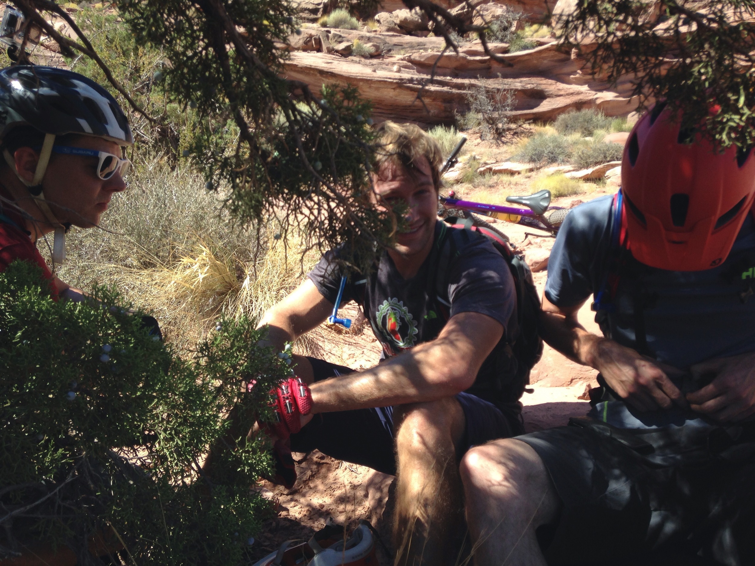
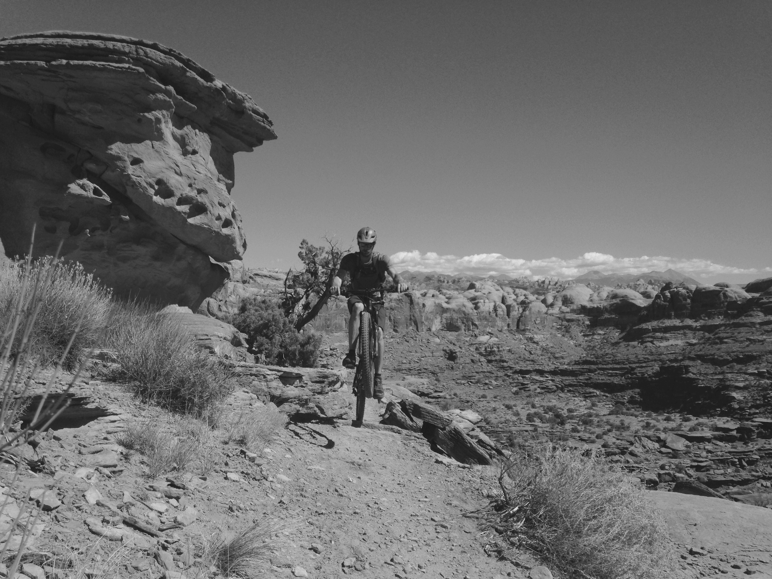
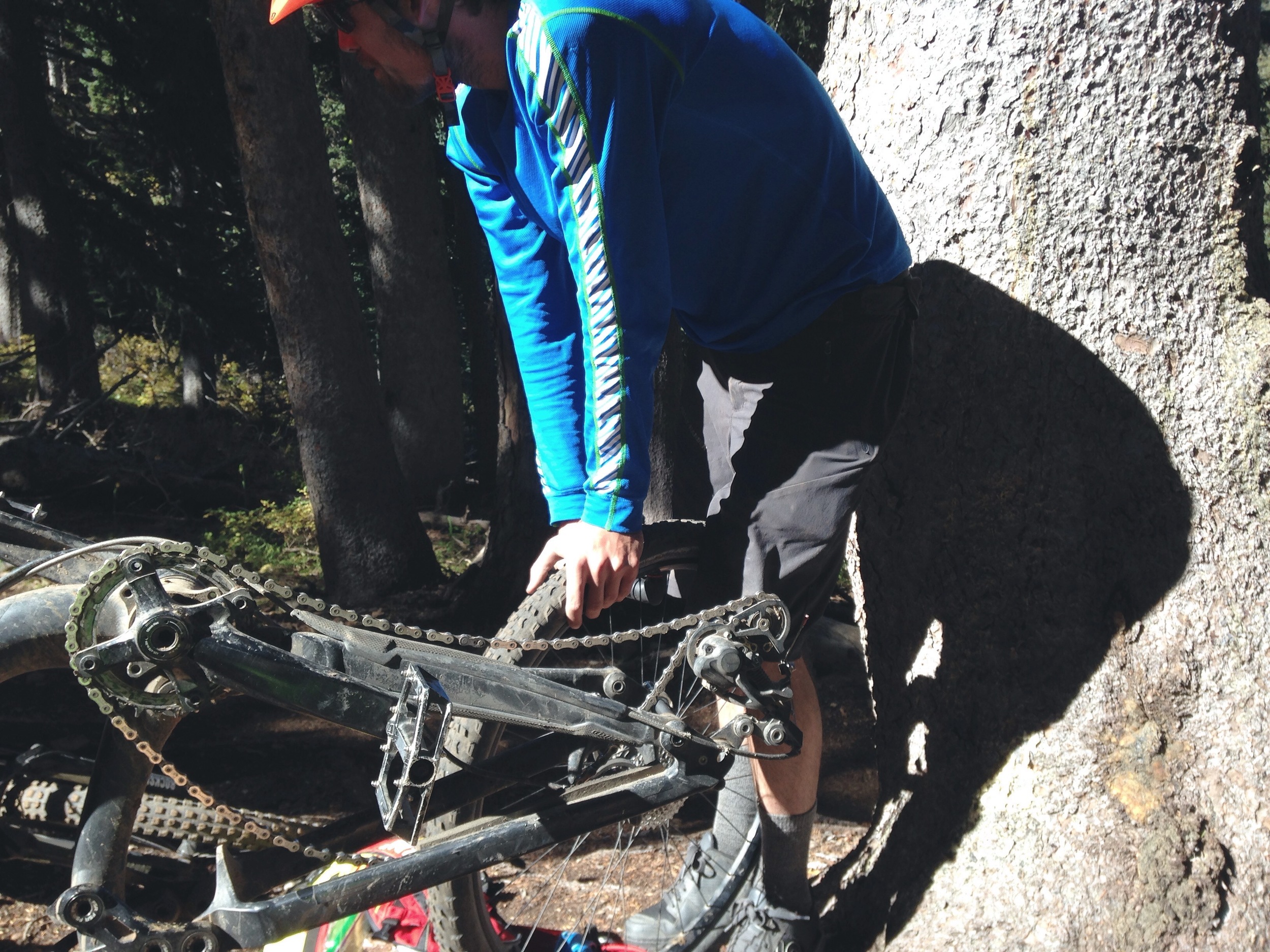
From Burro Pass you work your way to Hazard County. This is definitely the most exciting part. It starts in a campground and you quickly build speed into a brambly, smooth bobsled trail full of blind twists and turns. At this point I was leading, for some reason, and couldn’t help but catch up with some slower riders who had passed us during our stop to fix tubes. But, after they let me pass it was full speed Zoomin’!!!
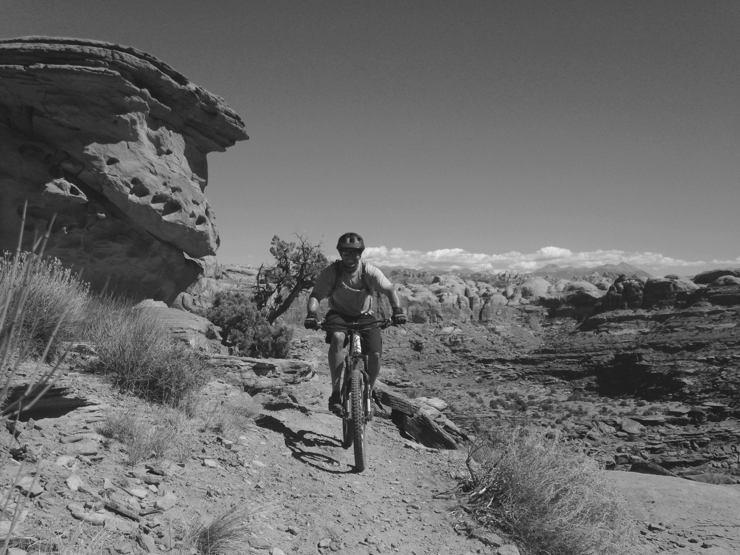
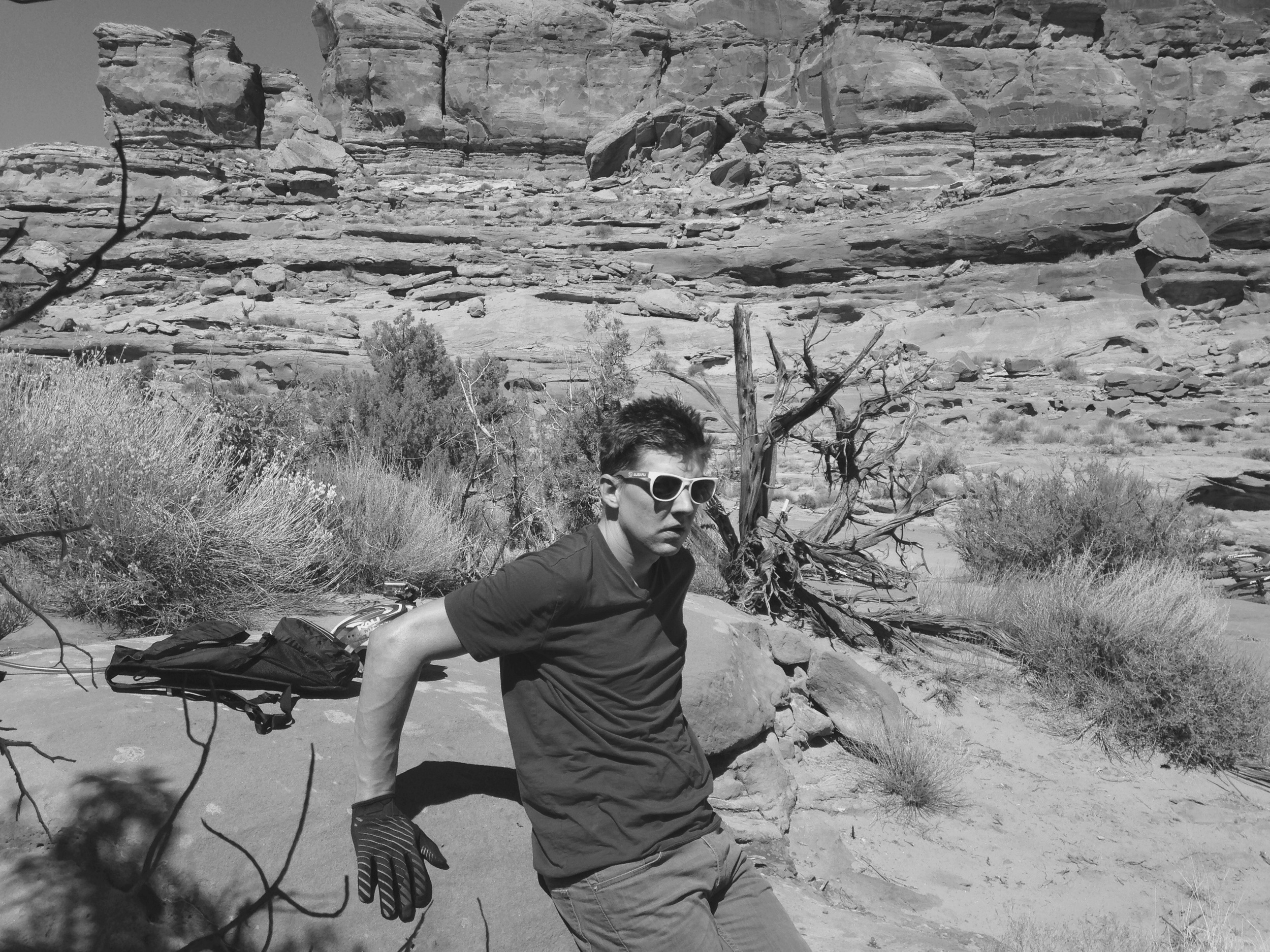
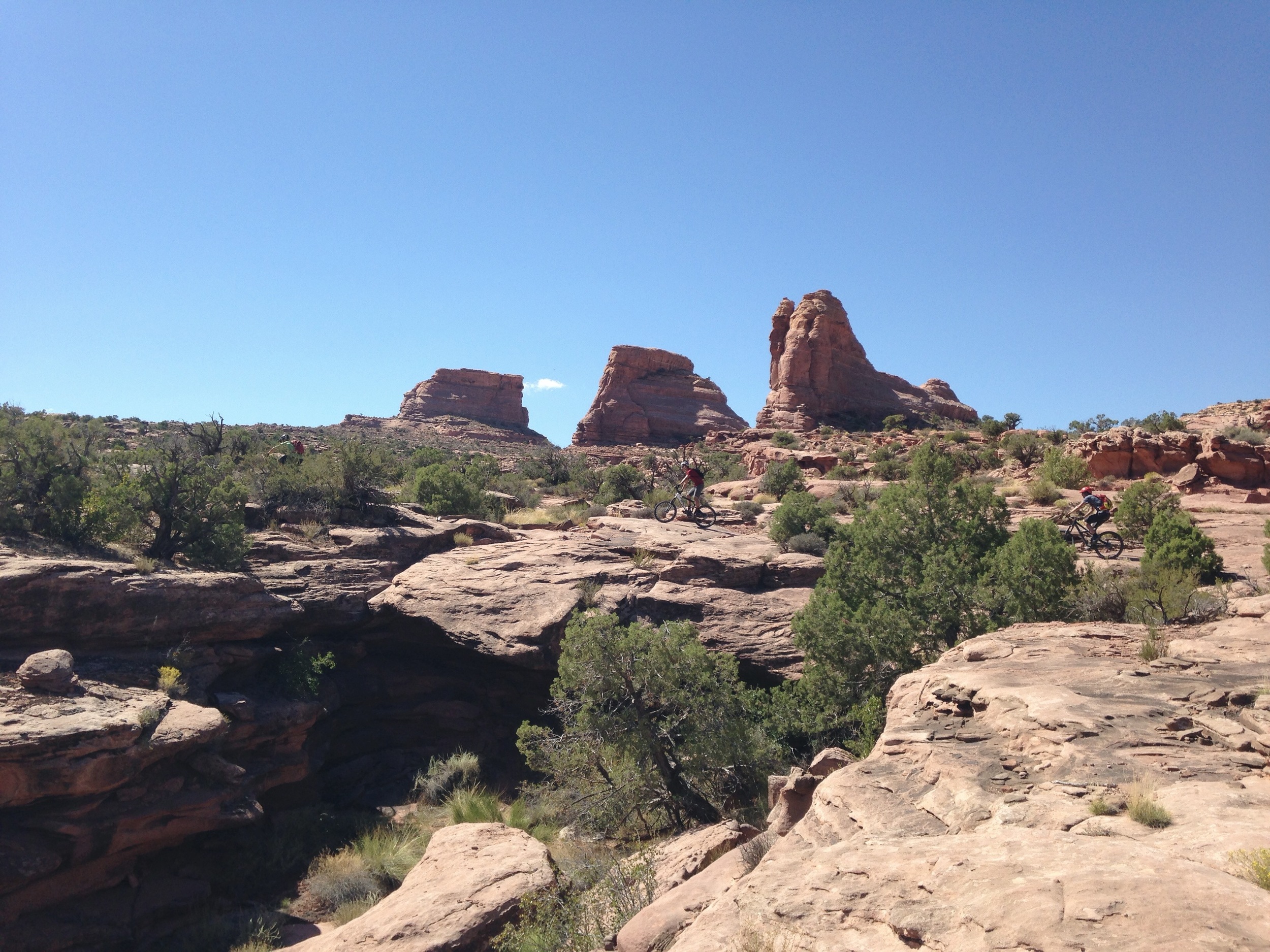
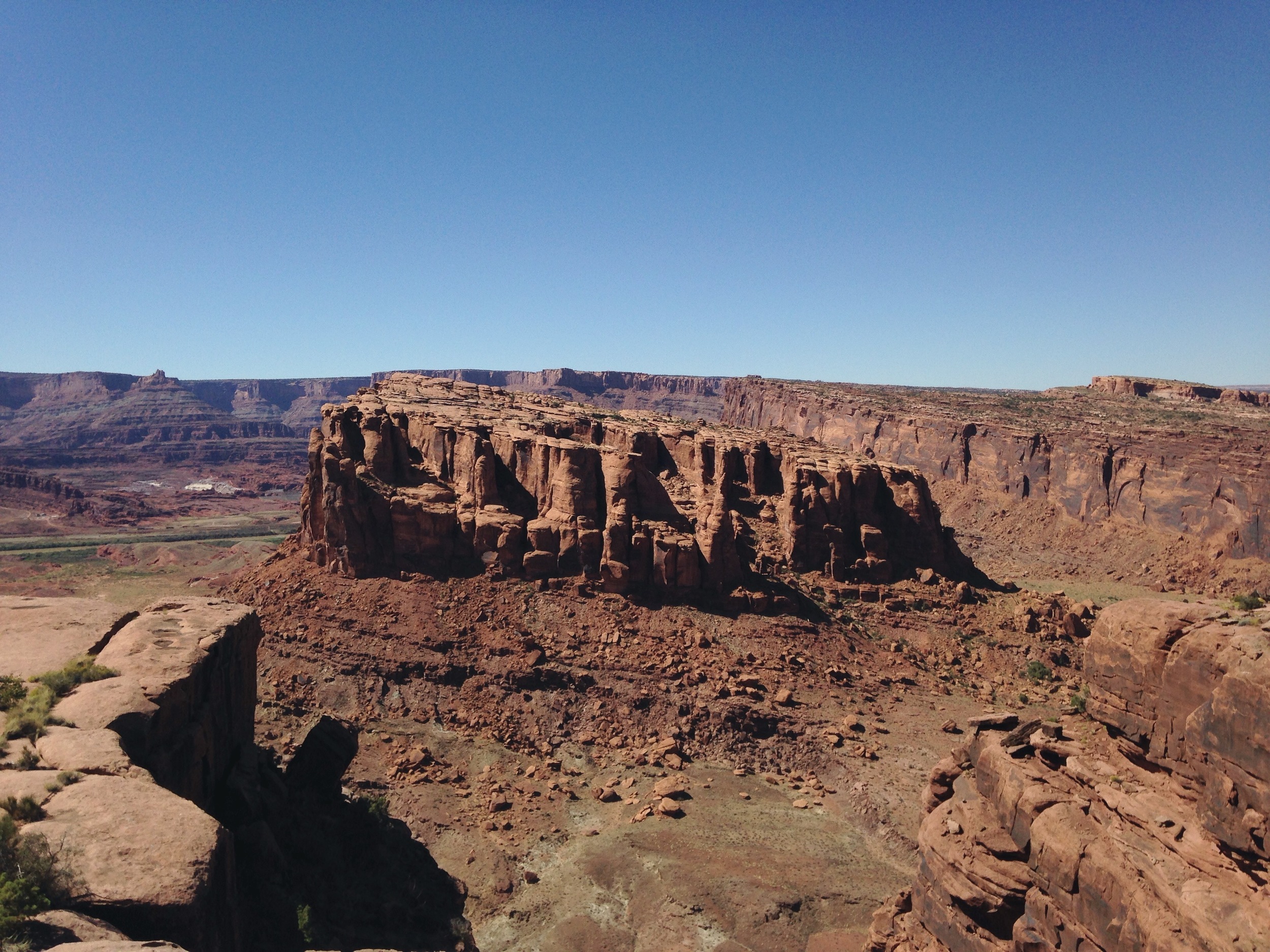
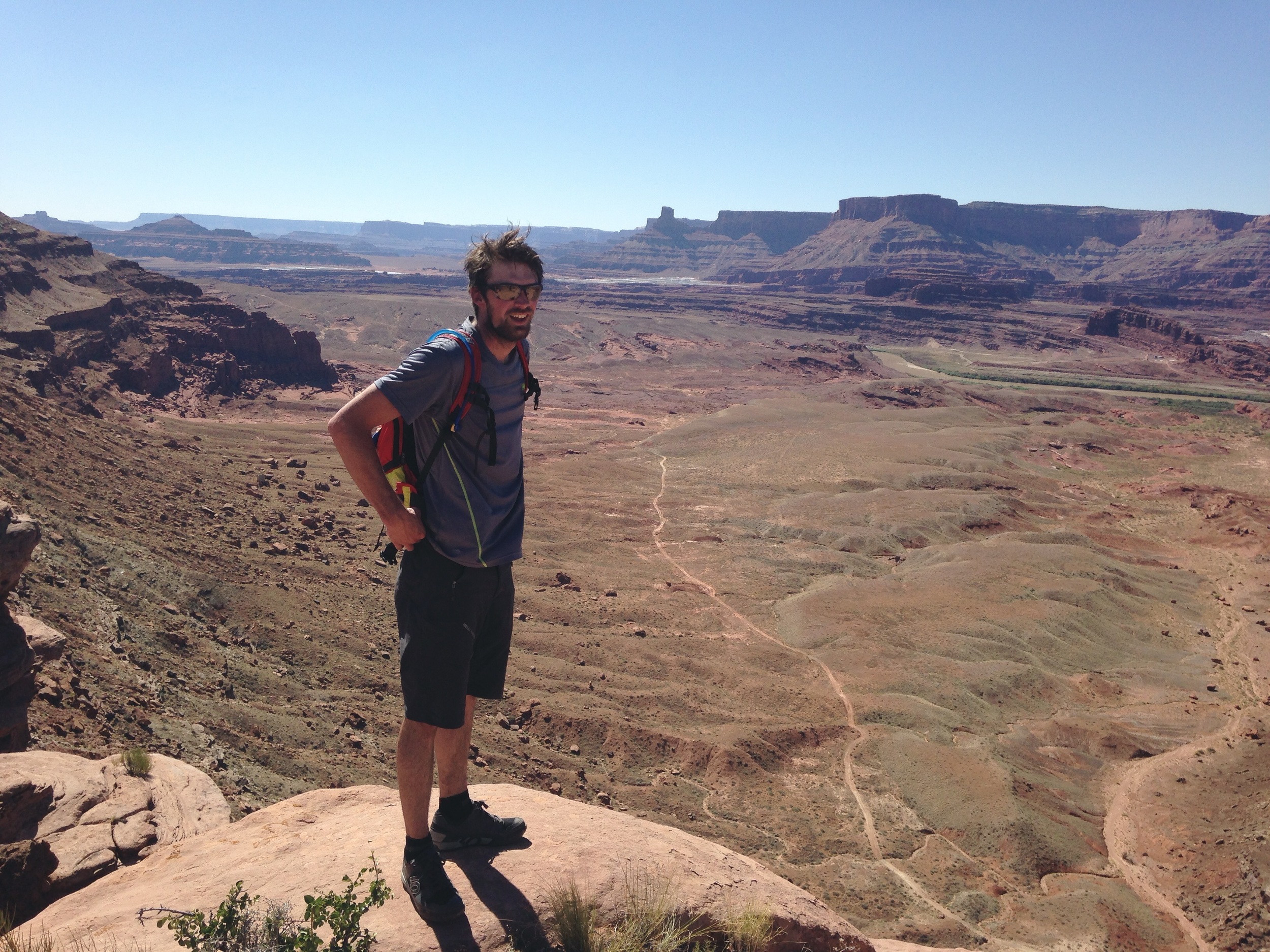
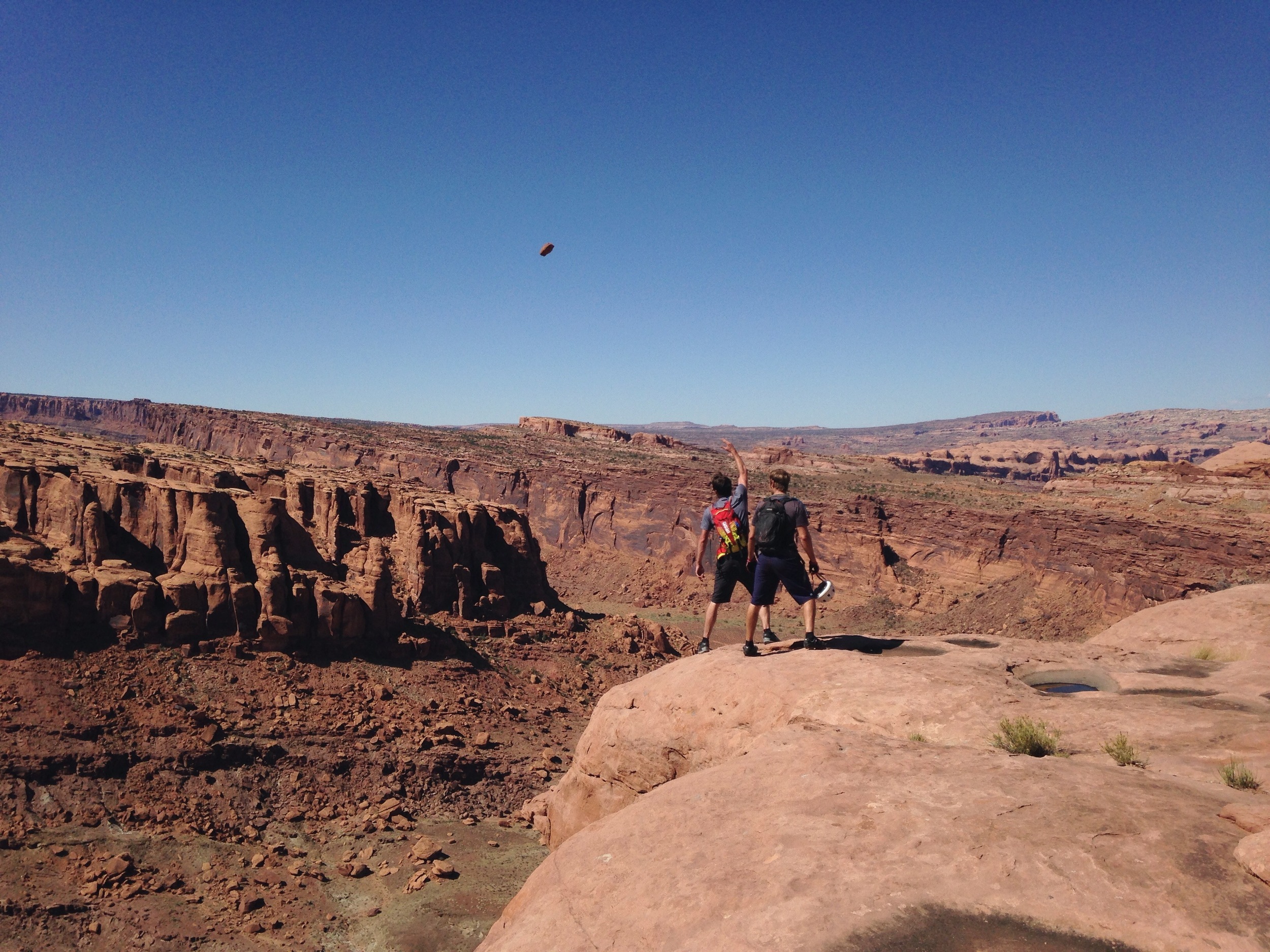
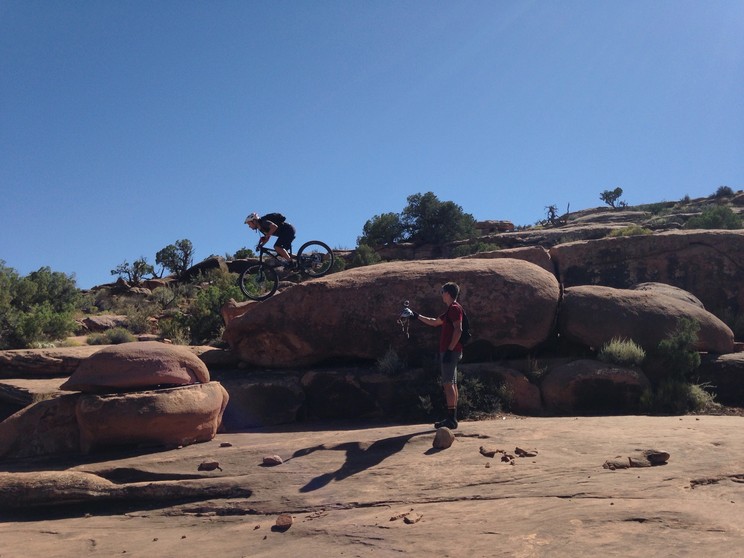
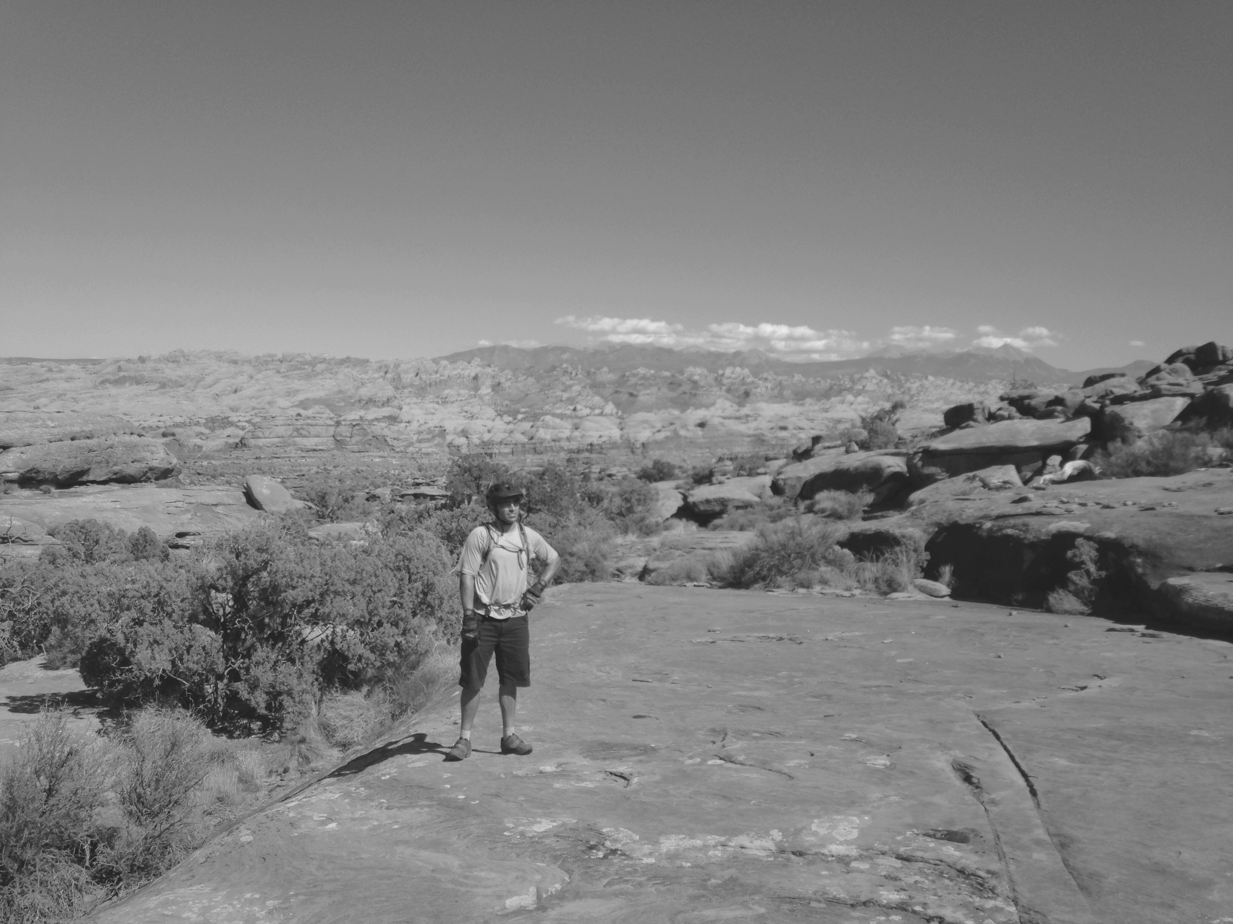
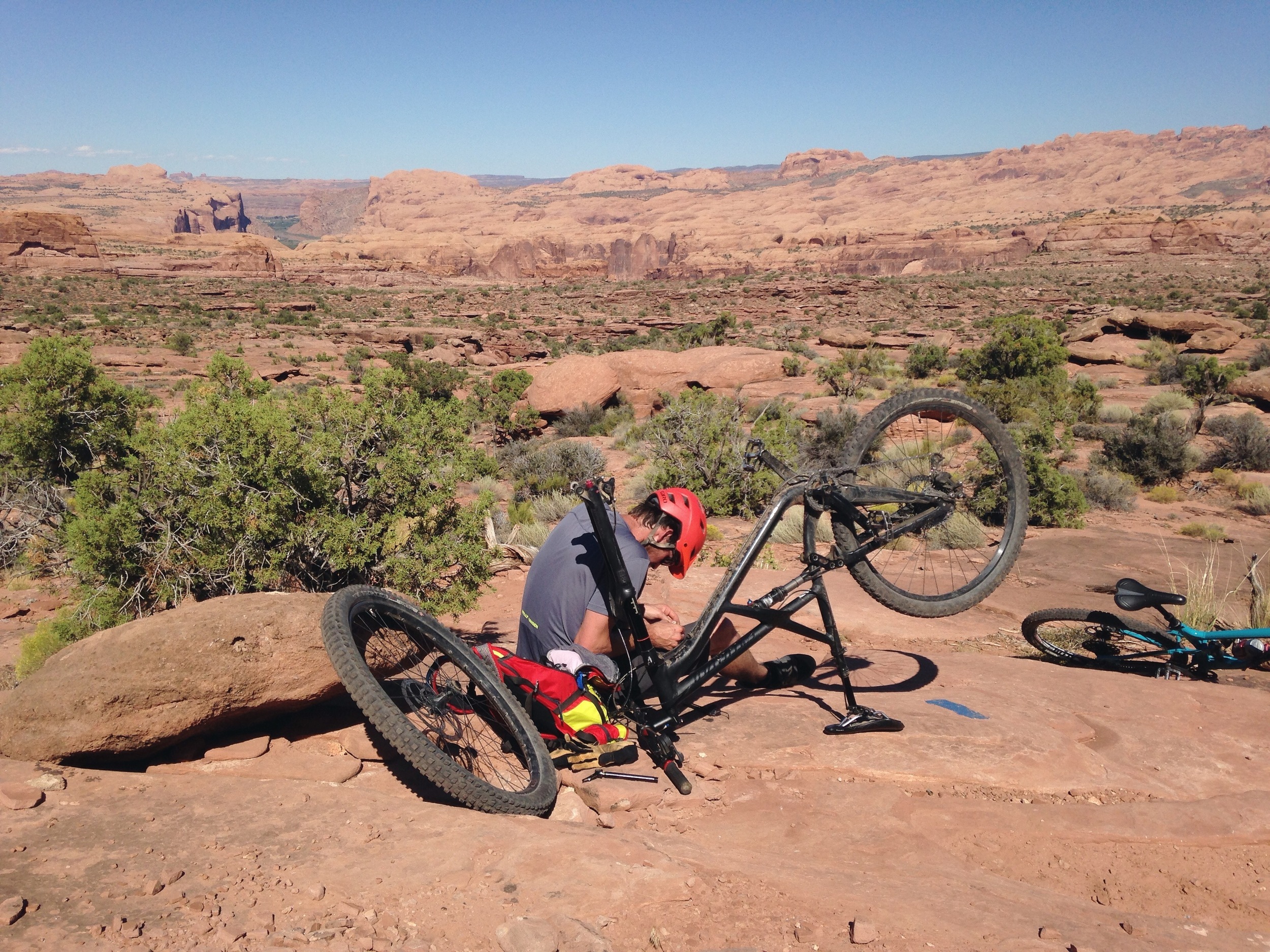
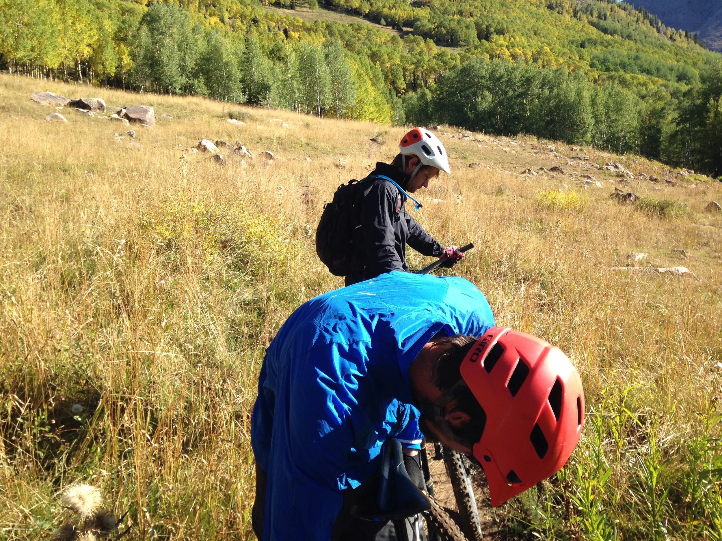
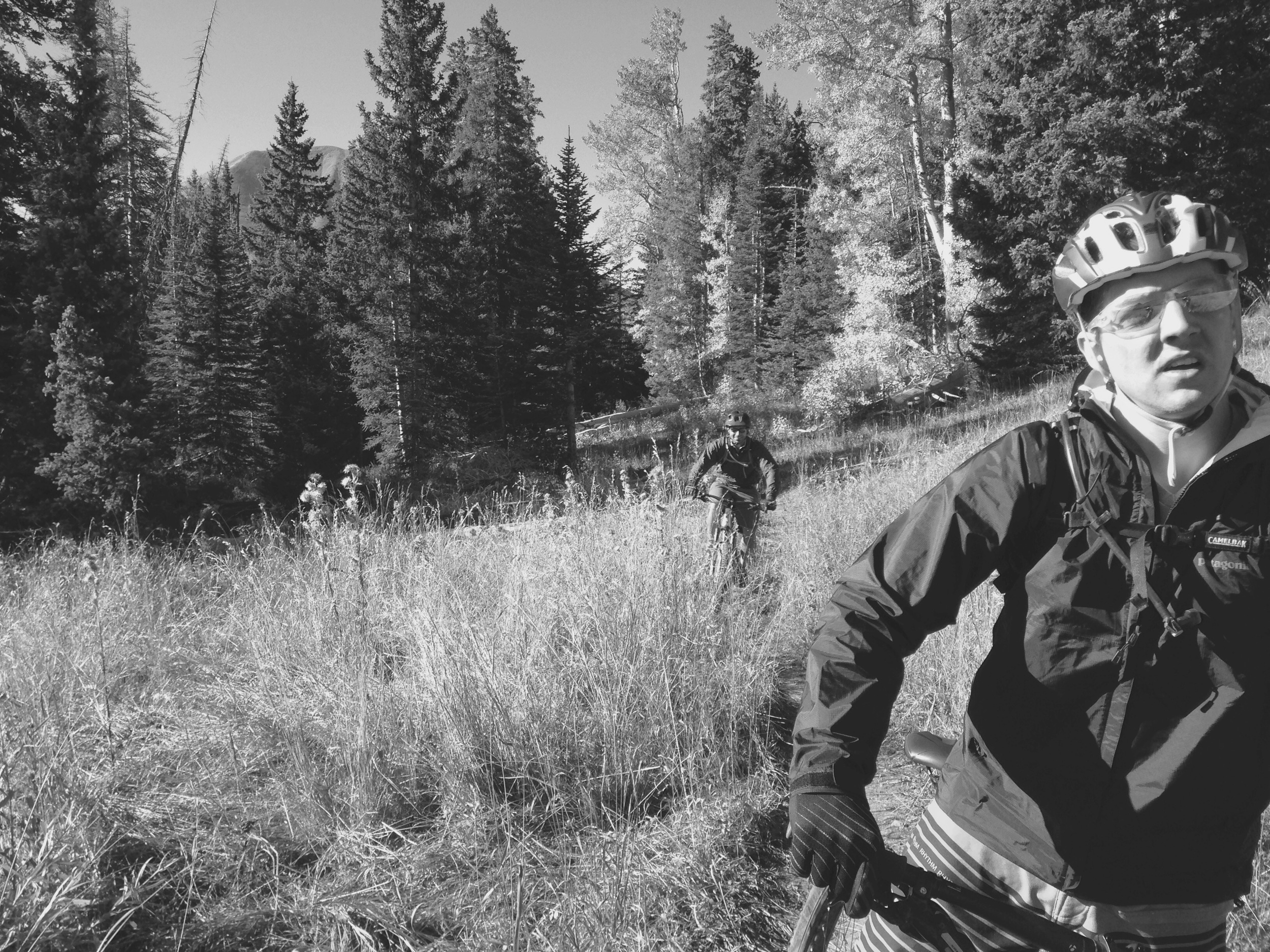
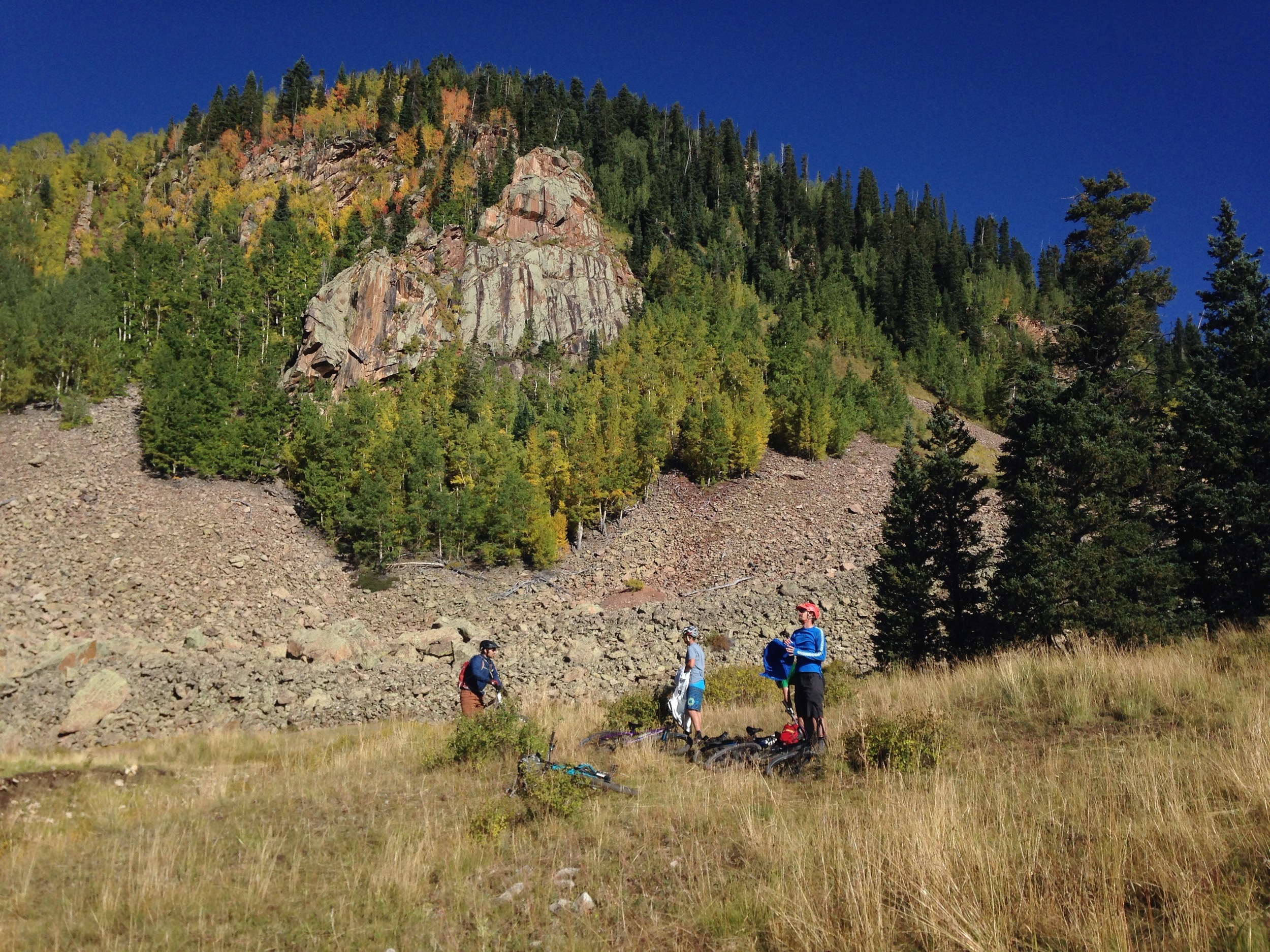
At the end of Hazard County is where you can keep going straight down a fire road or take the new section called Jimmy Keen. It winds through the sagebrush and was pretty fun. Once it gets ridden more the corners will be faster and it will make more sense. Somewhere in the middle of this section we found a nice ravine that was eerily similar to the first place I learned to ride BMX bikes. It’s just a smooth roll in and lip to flat so you can do sweet tricks for all the fans; the fans being the trees, your friends, and imaginary impressed masses. It was here that Luke decided to jump it, land sideways, kind of, and completely explode over the bars. Luckily Andy was there to catch him with his face. *No one was injured. It was most excellent.

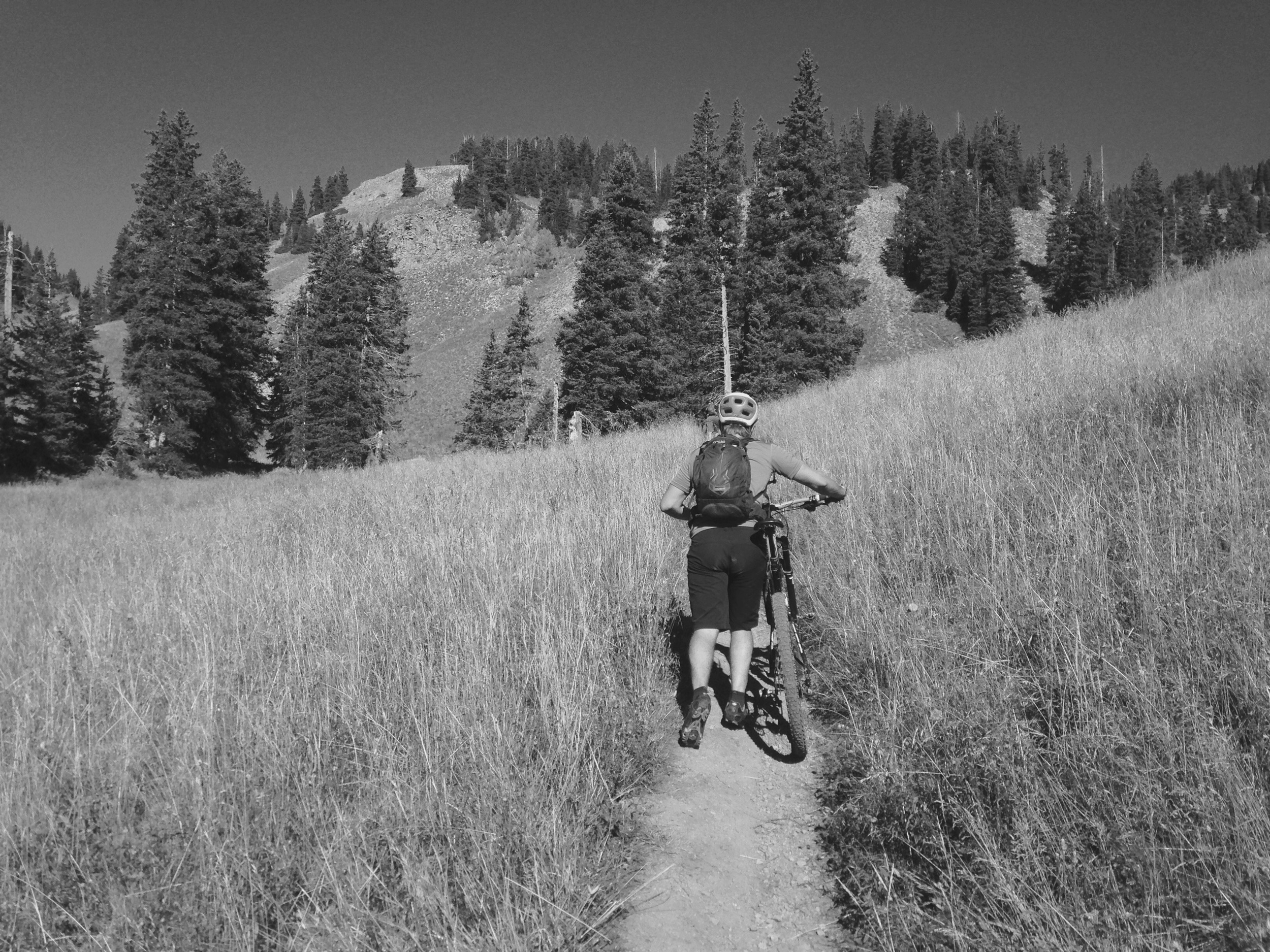
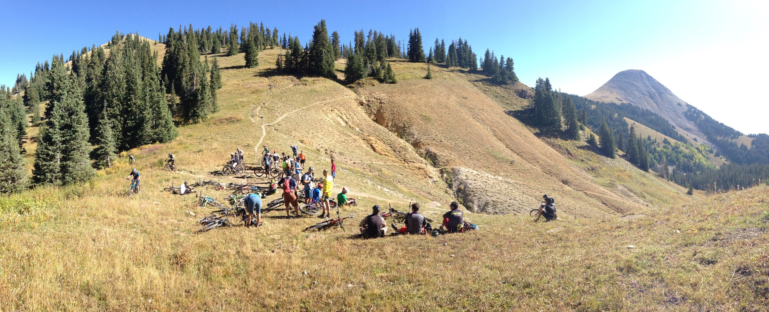
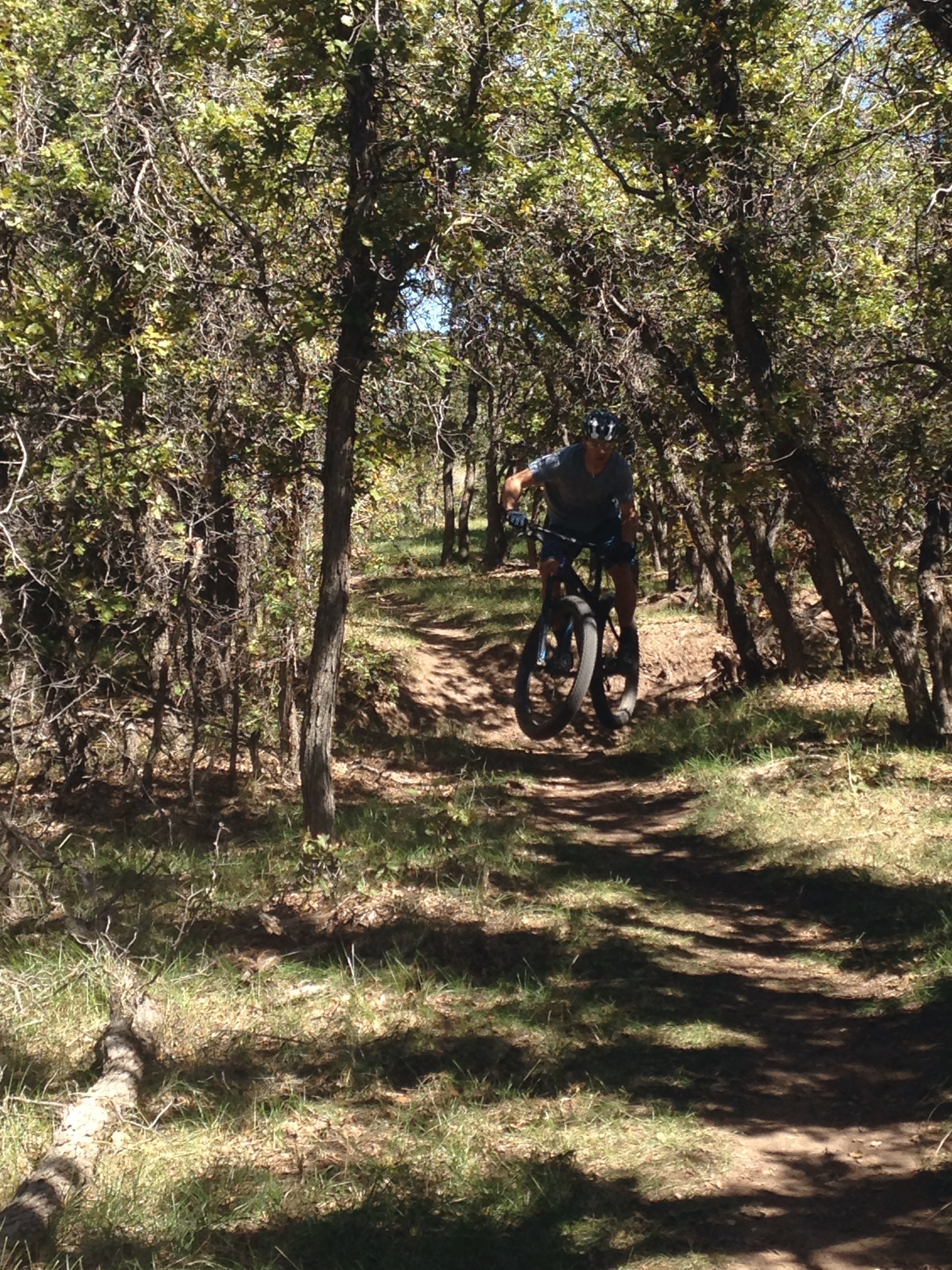
At the end of Hazard County is where you can keep going straight down a fire road or take the new section called Jimmy Keen. It winds through the sagebrush and was pretty fun. Once it gets ridden more the corners will be faster and it will make more sense. Somewhere in the middle of this section we found a nice ravine that was eerily similar to the first place I learned to ride BMX bikes. It’s just a smooth roll in and lip to flat so you can do sweet tricks for all the fans; the fans being the trees, your friends, and imaginary impressed masses. It was here that Luke decided to jump it, land sideways, kind of, and completely explode over the bars. Luckily Andy was there to catch him with his face. *No one was injured. It was most excellent.
This is the point where I start to run out of gas. You haven’t covered that many miles but the arms are gassed and the tummy rumbling. It is also the point where you don’t want to feel this way. You’re about to enter Upper and Lower Porcupine which are a labyrinth of boulders, roots and unforgiving, rocky fire road that seems to never end.
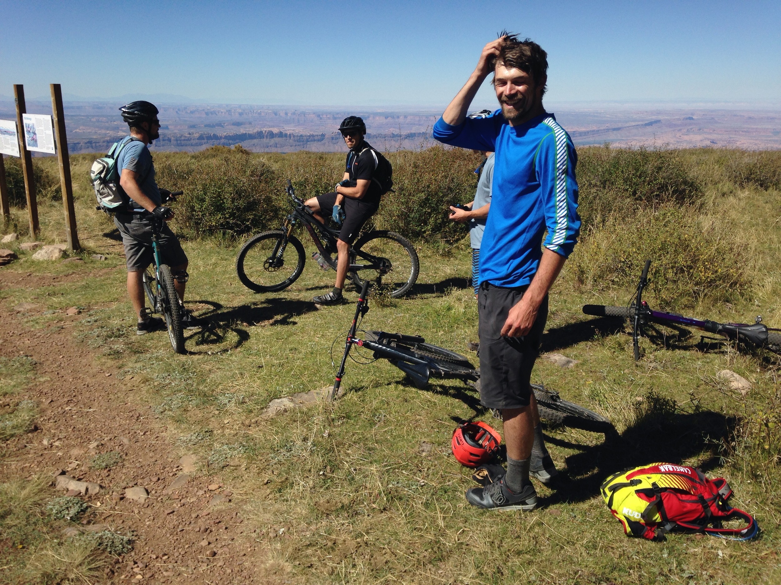
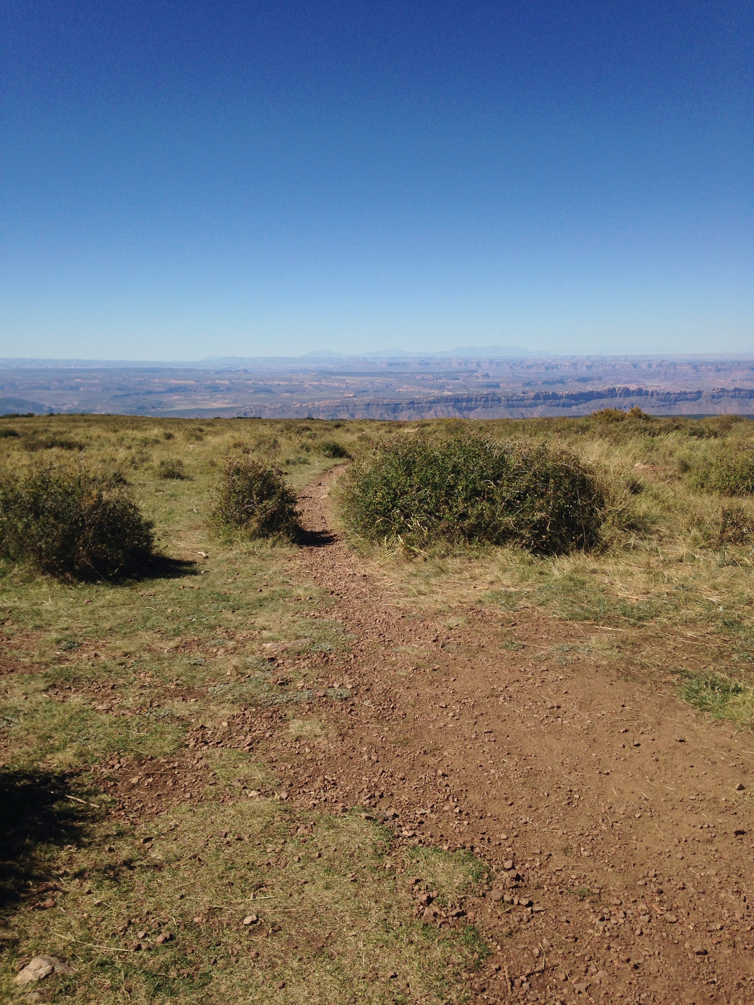
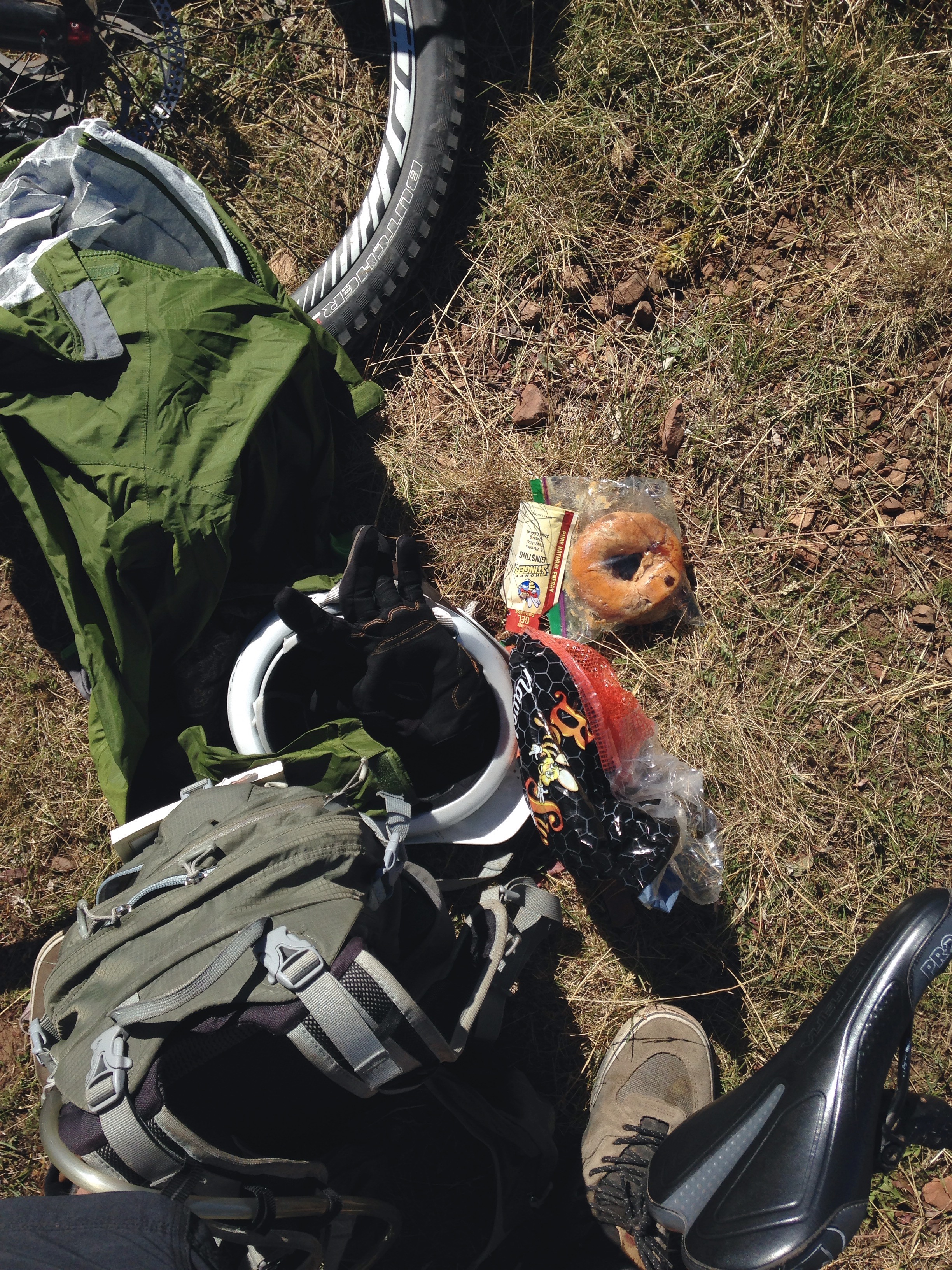
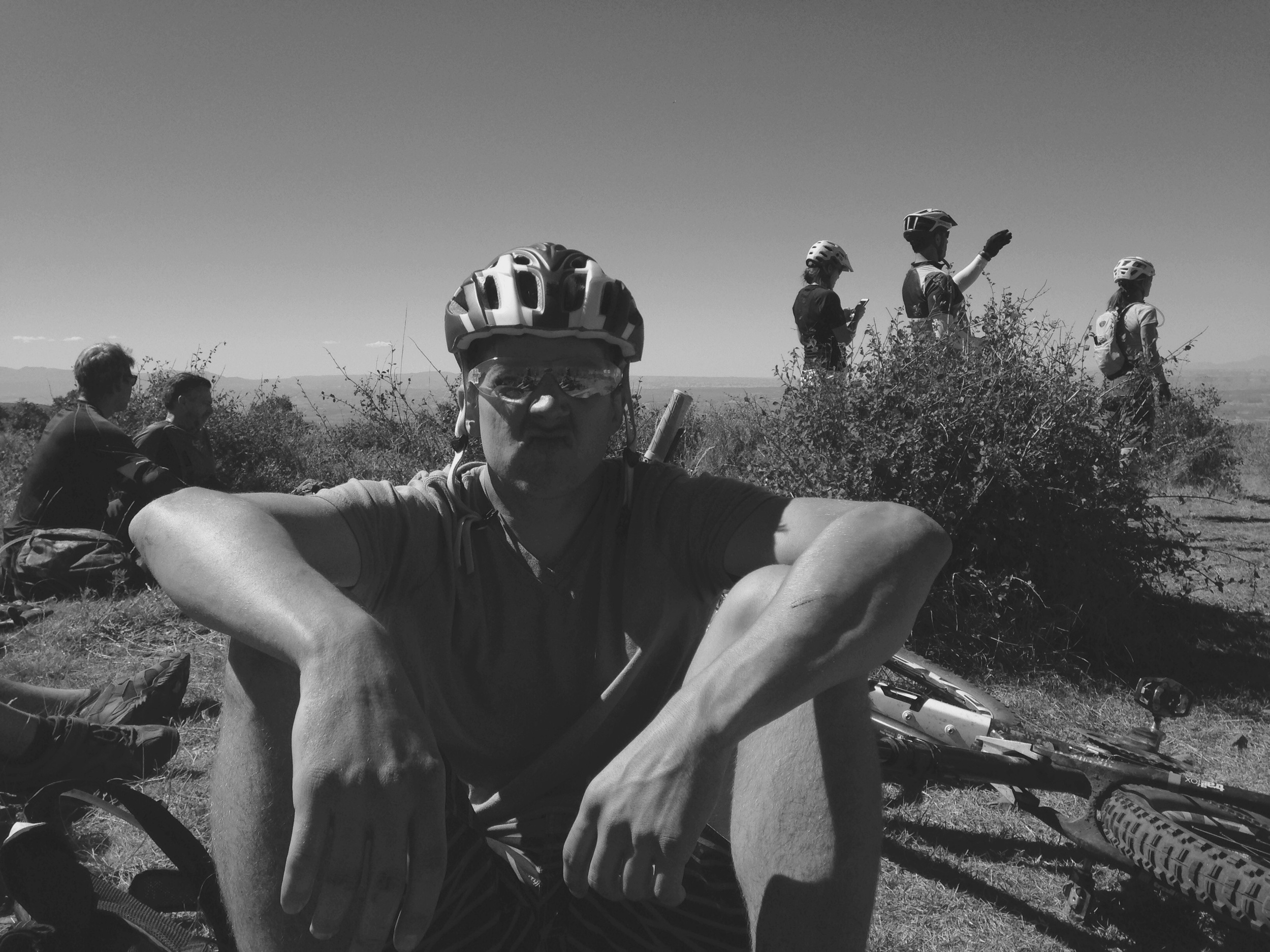
I don’t know how else to describe it and you can’t fully understand it without trying it yourself so I’ll just move on.
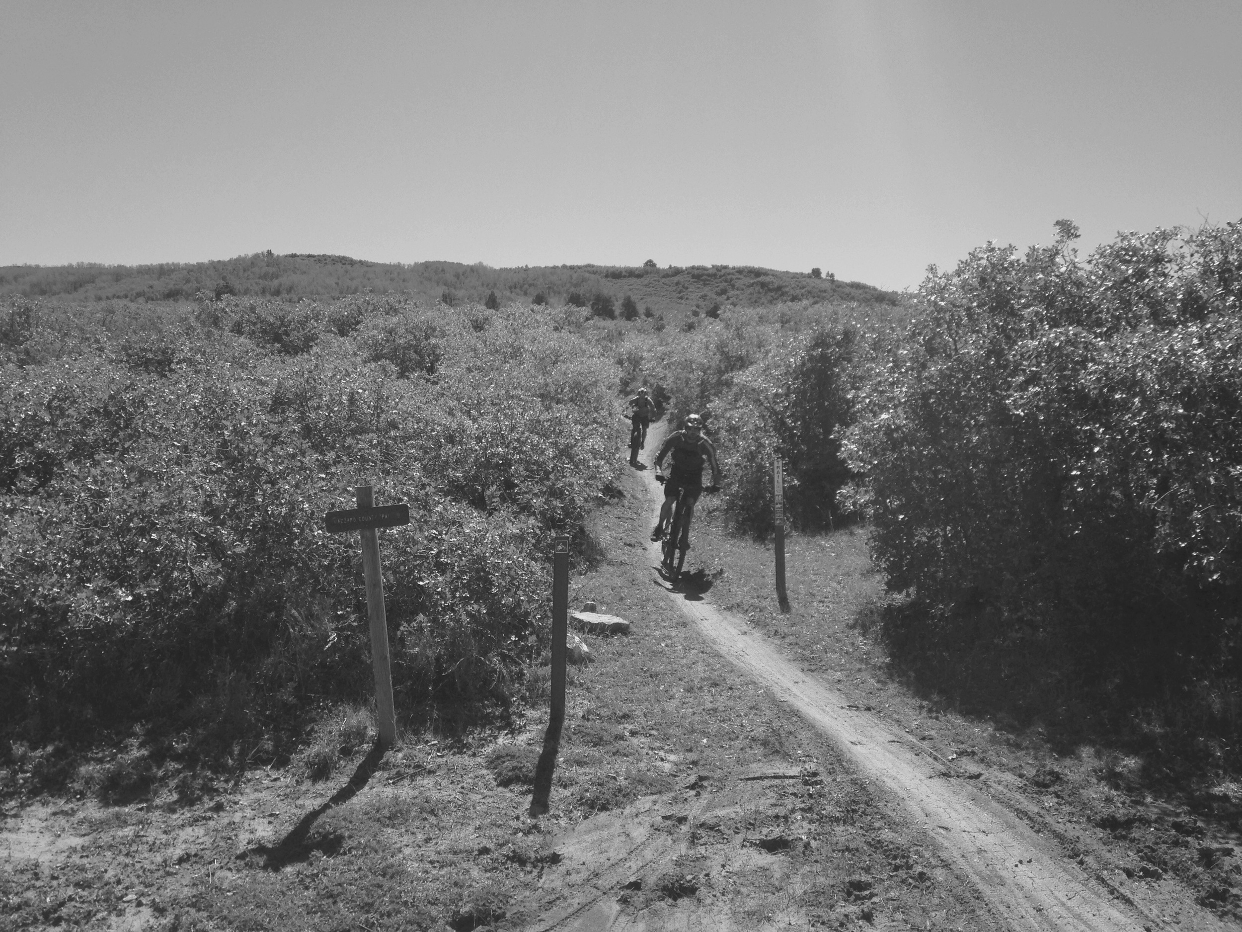
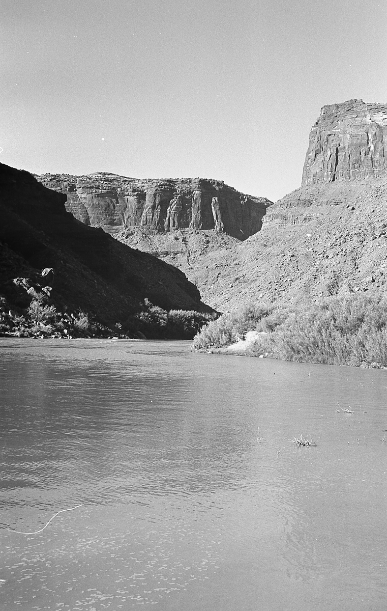
The last section is Porcupine Rim, which descends, finally, to the Colorado River. It is similar to Upper and Lower Porcupine only steeper.
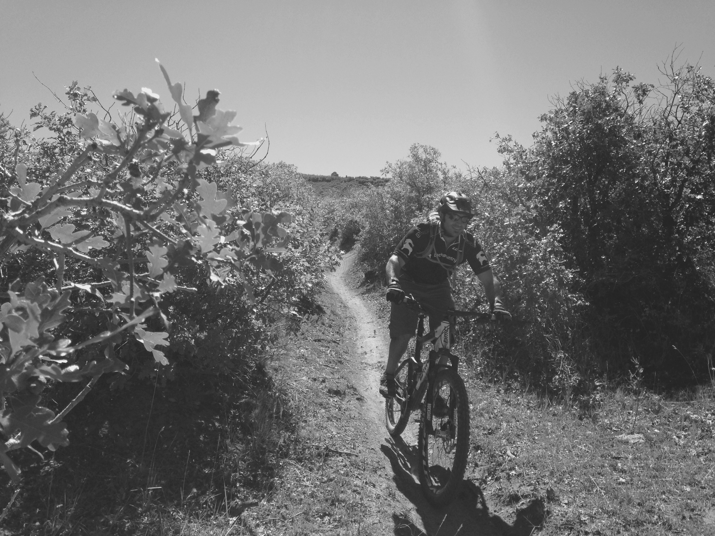
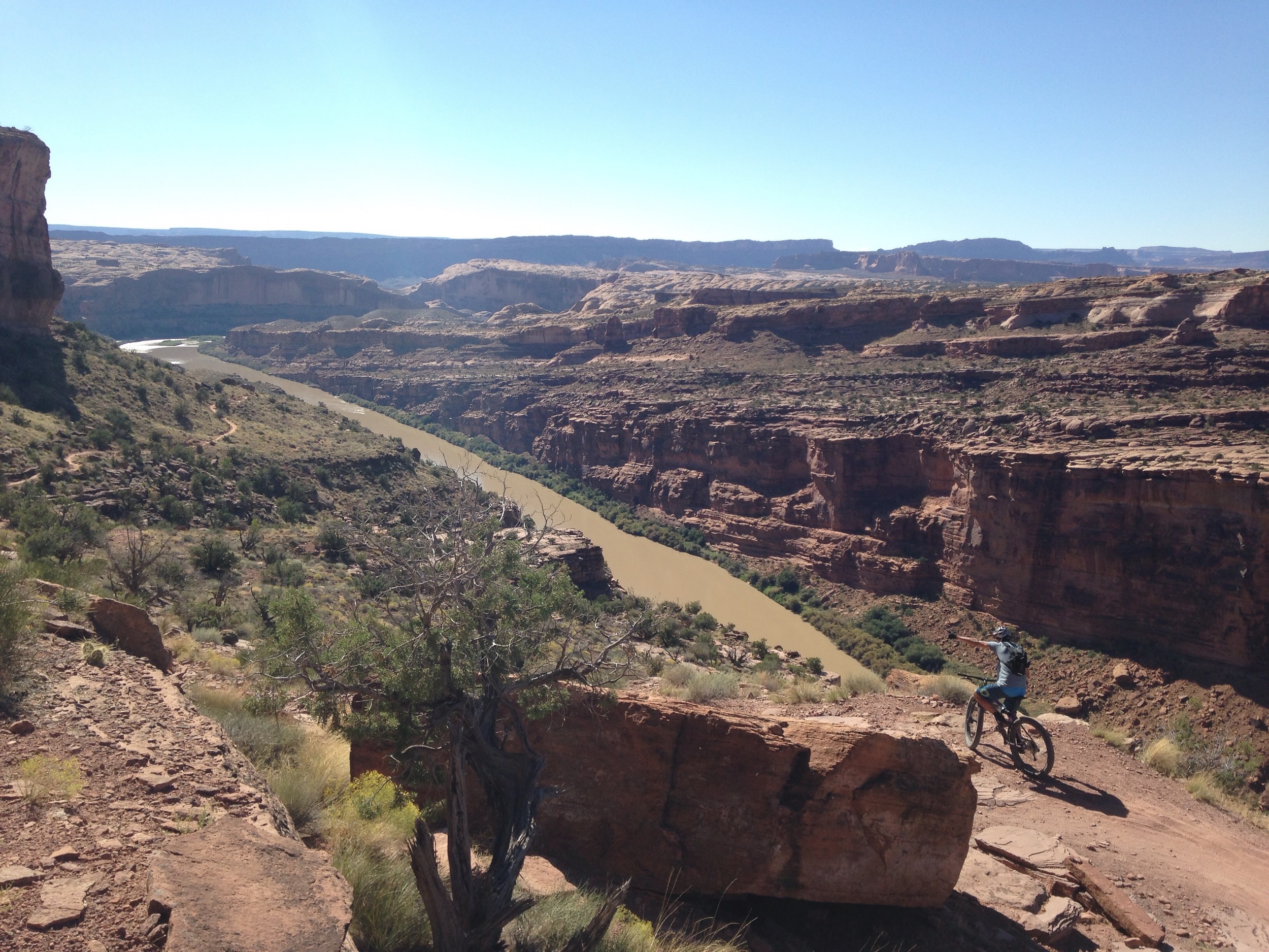
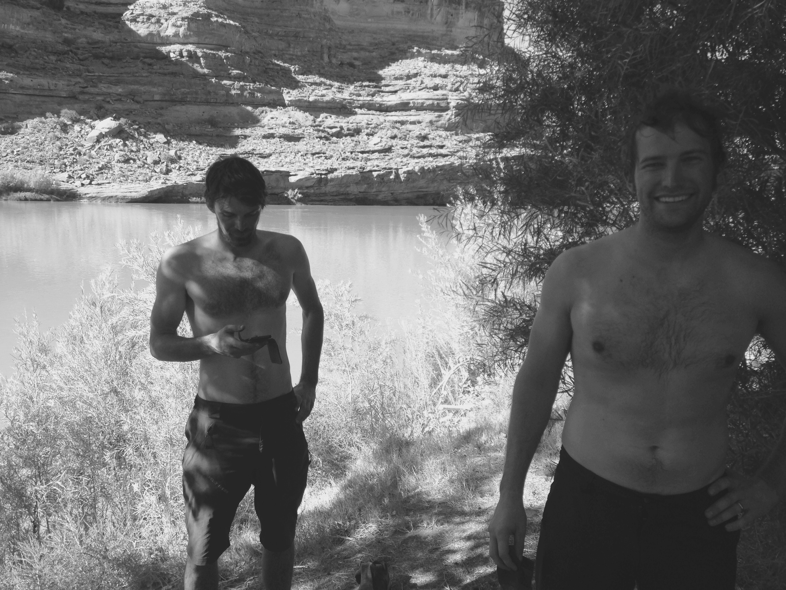
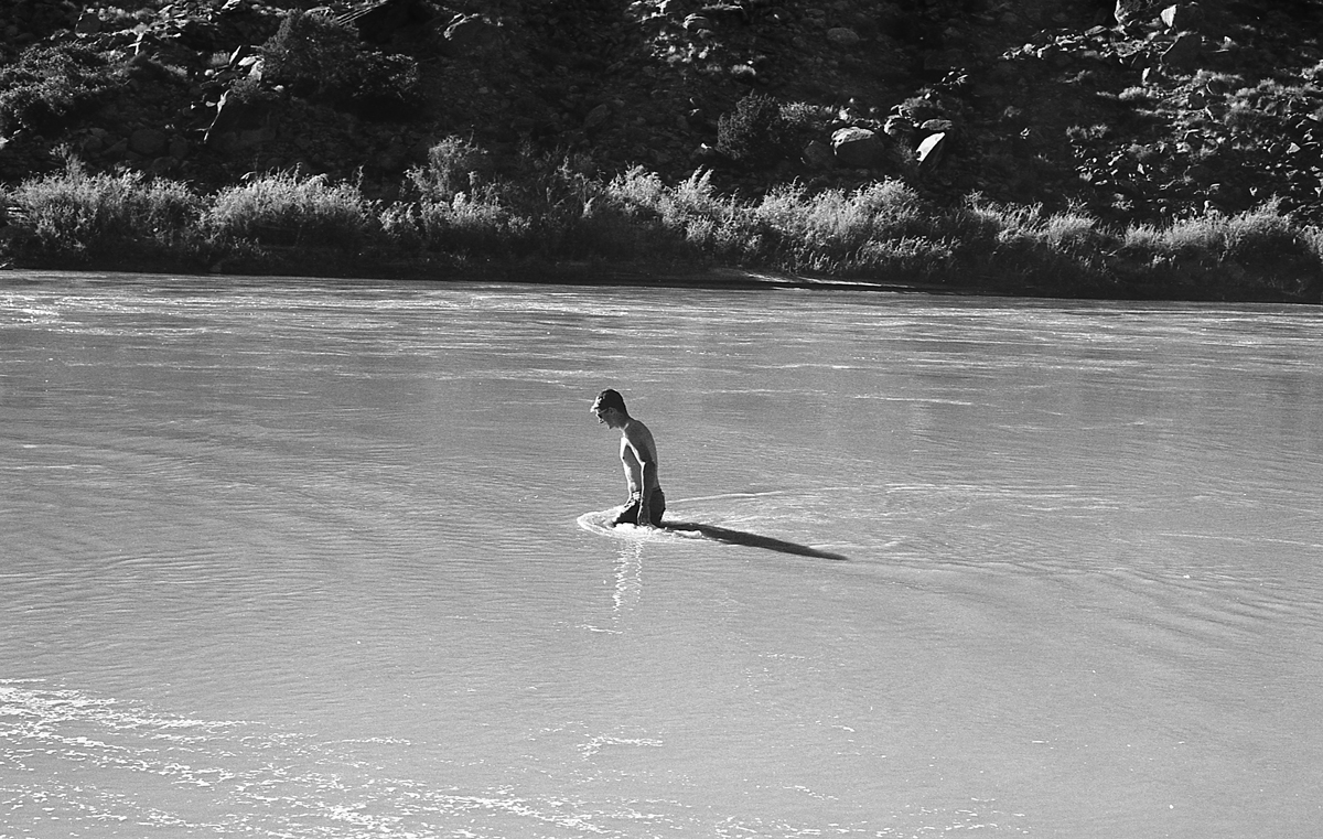
The finish is quite nice though. Jump over a couple rocks and turn to the right. Go through a large tunnel under the highway and dive straight into the river. From there you can let the cool muddy sweep you away and enjoy your secondary vacation through the Grand Canyon where you’ll never be seen again… (which is what Luke tried to do the day before when we were swimming across to the other bank and both his legs cramped! yikes) Or don’t and ride the last 6 miles back to town in a race to beat the clock so the bike shop doesn’t charge you an extra $25 for being late returning your rental bike.
Everyone was completely pooped so we ate some pizza, packed up the camping gear and went home.
I left out a lot. There is only so much you can put down in writing. I guess you have to be there if you want those details. Sorry?
-dan
